


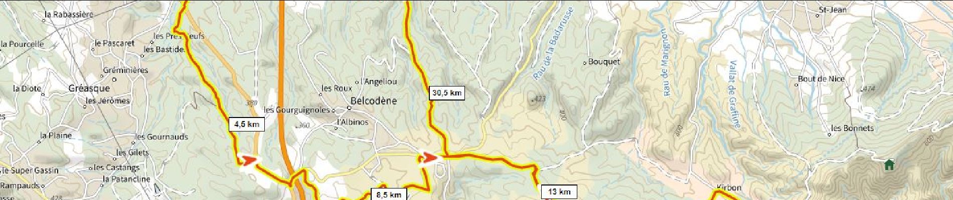
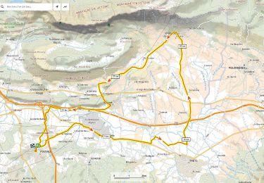
33 km | 43 km-effort

Gebruiker


Gratisgps-wandelapplicatie
 SityTrail
IGN / Geografische instituten
SityTrail World
De wereld gaat voor u open
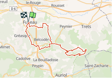
Tocht Mountainbike van 38 km beschikbaar op Provence-Alpes-Côte d'Azur, Bouches-du-Rhône, Fuveau. Deze tocht wordt voorgesteld door ericberlin.
Fuveau Pigeonnier par GR dans la foret de Gréasque, Vigie du Regagnas, Pas de la Couelle, Kirbon, Pigeonnier, Les Michels, Fuveau.
Variante de retour plus courte: retour du Pigeonnier a Fuveau via la route de Belcodène


Mountainbike

Stappen

Mountainbike

Wegfiets

Mountainbike

Stappen

Wegfiets

Wegfiets
Wegfiets