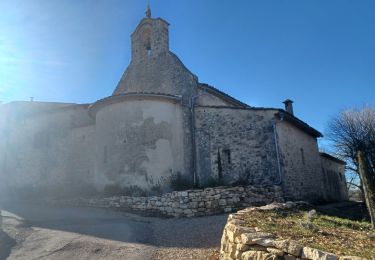
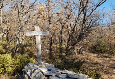
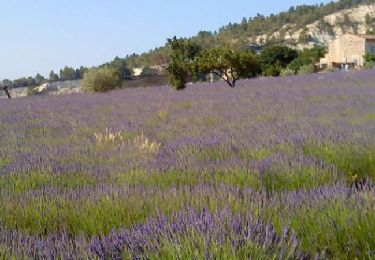
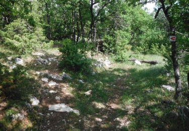
Tocht Stappen Forcalquier - PF-Forcalquier - La mère des Fontaines - Photo

PF-Forcalquier - La mère des Fontaines

 MicDul
MicDul

Gebruiker GUIDE

© OpenStreetMap contributors
Lengte
Lengte
17,2 km
Max. hoogte
Max. hoogte
892 m
Positief hoogteverschil
581 m
Km-Effort
Km-Effort  
25 km
Min. hoogte
Min. hoogte
505 m
Negatief hoogteverschil
581 m
Boucle
Boucle
Ja
Datum van aanmaak :
2015-01-05 00:00:00.0
Laatste wijziging :
2015-01-05 00:00:00.0

(1 Bericht)

Stappen
Stappen
5h13
Moeilijkheid : Moeilijk

Scan deze QR-code om de tocht te openen in de SityTrail-applicatie

Gratisgps-wandelapplicatie

Logo SityTrail SityTrail

IGN / Geografische instituten

SityTrail uit de App Store downloaden SityTrail uit Google Play downloaden

Logo SityTrail SityTrail World

De wereld gaat voor u open

SityTrail uit de App Store downloaden SityTrail uit Google Play downloaden SityTrail op Huawei AppGallery downloaden

Over ons

Tocht Stappen van 17,2 km beschikbaar op Provence-Alpes-Côte d'Azur, Alpes-de-Haute-Provence, Forcalquier. Deze tocht wordt voorgesteld door MicDul.

Hoogteprofiel

Plaatsbepaling

Land:
France
Regio :
Provence-Alpes-Côte d'Azur
Departement/Provincie :
Alpes-de-Haute-Provence
Gemeente :
Forcalquier
Locatie:
Unknown
Vertrek:(Dec)
Vertrek:(UTM)
722792 ; 4870927 (31T) N.

Opmerkingen

Gelieve in te loggen om een commentaar of een beoordeling achter te laten


Belle randonnée de niveau facile. Passage par les curiosités géologiques des Mourres.


Wandeltochten in de omgeving

Tocht Stappen Mane - MANE. Prieuré de Salagon , Pont romain , petit Sauvan , carrières,  tour de Pourchere   chapelles , ol l s - Photo
Stappen
GUIDE
RobinMicheline

Stappen

Medium
(1)
Mane, Provence-Alpes-Côte d'Azur, Alpes-de-Haute-Provence, France
13,2 km | 17,4 km-effort
3h 50min
Ja
Tocht Stappen Forcalquier - GR6 - Mère des Fontaines - Roche Ruine - Les Mourres - Photo
Stappen
GUIDE
toutankhcarton

Stappen

Gemakkelijk
(1)
Forcalquier, Provence-Alpes-Côte d'Azur, Alpes-de-Haute-Provence, France
18 km | 26 km-effort
4h 42min
Ja
Tocht Fiets Forcalquier - Parcours n°17 - Forcalquier - Photo
Fiets
GUIDE+

Fiets

Gemakkelijk
(1)
Forcalquier, Provence-Alpes-Côte d'Azur, Alpes-de-Haute-Provence, France
21 km | 25 km-effort
1h 28min
Ja
Tocht Stappen Mane - MANE Tours de la laye 3 - Photo
Stappen
GUIDE
RobinMicheline

Stappen

Medium
(1)
Mane, Provence-Alpes-Côte d'Azur, Alpes-de-Haute-Provence, France
15,1 km | 22 km-effort
5h 59min
Ja
Tocht Stappen Mane - 110ter-Mane.Les Ybourgues. sans passer par Chateauneuf. Mane  - Photo
Stappen
dumotier

Stappen

Medium
(1)
Mane, Provence-Alpes-Côte d'Azur, Alpes-de-Haute-Provence, France
13,2 km | 19,8 km-effort
3h 0min
Ja
Tocht Mountainbike Forcalquier - La classique du Clot, circuit n°5 - Pays de Forcalquier - Photo
Mountainbike
tracegps

Mountainbike

Moeilijk
(1)
Forcalquier, Provence-Alpes-Côte d'Azur, Alpes-de-Haute-Provence, France
14,7 km | 20 km-effort
2h 0min
Ja
Tocht Stappen Mane - MANE  , pont romain  , chapelle S Jean et chapelle Châteauneuf  o l s  - Photo
Stappen
GUIDE
RobinMicheline

Stappen

Gemakkelijk
Mane, Provence-Alpes-Côte d'Azur, Alpes-de-Haute-Provence, France
12,1 km | 16,2 km-effort
3h 1min
Ja
Tocht Stappen Mane - MANE Saint Michel Observatoire  o - Photo
Stappen
GUIDE
RobinMicheline

Stappen

Moeilijk
Mane, Provence-Alpes-Côte d'Azur, Alpes-de-Haute-Provence, France
18,1 km | 24 km-effort
6h 23min
Ja
Tocht Fiets Forcalquier - Le Pays de Forcalquier - Montagne de Lure à vélo - Photo
Fiets
GUIDE+

Fiets

Medium
Forcalquier, Provence-Alpes-Côte d'Azur, Alpes-de-Haute-Provence, France
81 km | 99 km-effort
5h 36min
Ja


Sluiten
Mijn abonnementen