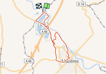

13,4 km | 14,5 km-effort


Gebruiker


Gratisgps-wandelapplicatie
 SityTrail
IGN / Geografische instituten
SityTrail World
De wereld gaat voor u open
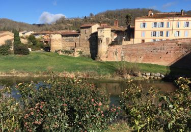
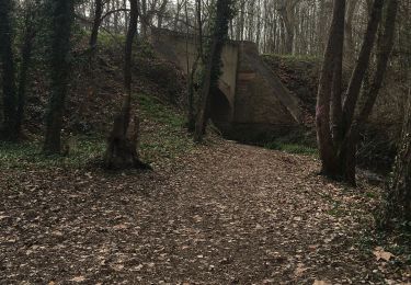
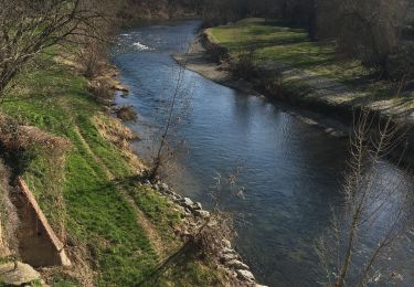
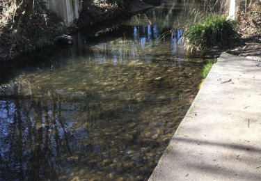
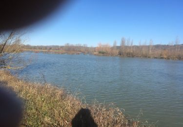
Tocht Stappen van 8,4 km beschikbaar op Occitanië, Haute-Garonne, Calmont. Deze tocht wordt voorgesteld door richardsimopons.
Parking Auberge. Le Raunier, L ´Hers, Mazeres, Le Raunier, Parking Domaine des Oiseaux

Stappen

Stappen
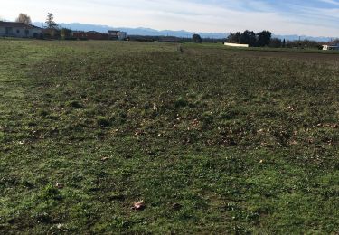
Stappen
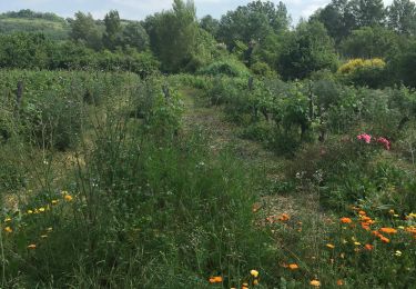
Stappen
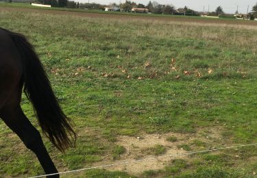
Stappen