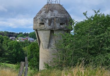
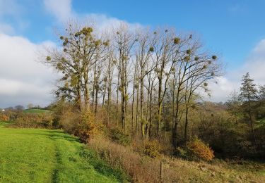
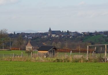
9,8 km | 12,3 km-effort
Test backlinking
Zexxion
Gebruiker
Lengte
9,6 km
Max. hoogte
236 m
Positief hoogteverschil
213 m
Km-Effort
12,4 km
Min. hoogte
144 m
Negatief hoogteverschil
201 m
Boucle
Neen
Datum van aanmaak :
2022-01-20 08:05:06.257
Laatste wijziging :
2022-01-20 08:23:05.021
2h48
Moeilijkheid : Gemakkelijk
Gratisgps-wandelapplicatie
Over ons
Tocht Te voet van 9,6 km beschikbaar op Wallonië, Luik, Fléron. Deze tocht wordt voorgesteld door Zexxion.
Beschrijving
Test : https://google.com
Test 2 : www.google.com
Plaatsbepaling
Land:
Belgium
Regio :
Wallonië
Departement/Provincie :
Luik
Gemeente :
Fléron
Locatie:
Unknown
Vertrek:(Dec)
Vertrek:(UTM)
690692 ; 5613190 (31U) N.
Opmerkingen
Wandeltochten in de omgeving
2023-07-28_14h00m33_1702.gpx.xml
Stappen
Gemakkelijk
(1)
Blegny,
Wallonië,
Luik,
Belgium
9,9 km | 11,8 km-effort
2h 40min
Ja
2021-10-28_12h59m26_1395
Stappen
Gemakkelijk
(3)
Soumagne,
Wallonië,
Luik,
Belgium
10,4 km | 13,4 km-effort
3h 2min
Ja
F15 Fléron Fond du Pucet
Stappen
Gemakkelijk
(2)
Fléron,
Wallonië,
Luik,
Belgium
4,8 km | 6 km-effort
57min
Ja
A la découverte des Thermes et Coteaux: La Chapelle St Anne
Stappen
Medium
(1)
Chaudfontaine,
Wallonië,
Luik,
Belgium
7,2 km | 10,4 km-effort
2h 12min
Ja
Par les Houlpais
Elektrische fiets
Moeilijk
(1)
Blegny,
Wallonië,
Luik,
Belgium
37 km | 48 km-effort
2h 30min
Ja
Beyne-Heusay - Grivegnée par la Chapelle Sainte-Anne
Stappen
Heel gemakkelijk
(1)
Beyne-Heusay,
Wallonië,
Luik,
Belgium
5,1 km | 6 km-effort
45min
Neen
Romsée
Mountainbike
Zeer moeilijk
(1)
Fléron,
Wallonië,
Luik,
Belgium
37 km | 49 km-effort
3h 23min
Ja
Quelle est l'utilité de la publication pour les utilisateurs?