


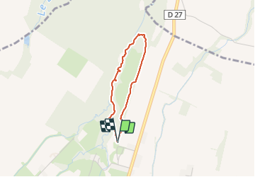


23 km | 28 km-effort

Gebruiker GUIDE


Gratisgps-wandelapplicatie
 SityTrail
IGN / Geografische instituten
SityTrail World
De wereld gaat voor u open
Tocht Stappen van 2,7 km beschikbaar op Nieuw-Aquitanië, Pyrénées-Atlantiques, Ger. Deze tocht wordt voorgesteld door marmotte65.
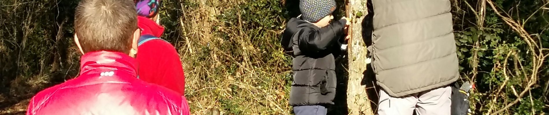
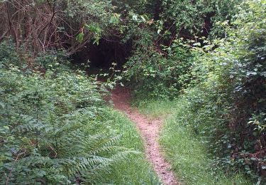
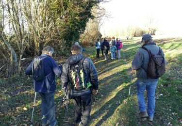
Balisage et labellisation de ce chemin du Manas à Ger.
entouré de Daniel Lulu May et Victor. D beau travail realisé


Stappen

Stappen

Noords wandelen
Stappen
Noords wandelen
Stappen
Stappen
Noords wandelen
Stappen