


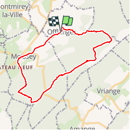


8,5 km | 11,4 km-effort

Gebruiker


Gratisgps-wandelapplicatie
 SityTrail
IGN / Geografische instituten
SityTrail World
De wereld gaat voor u open
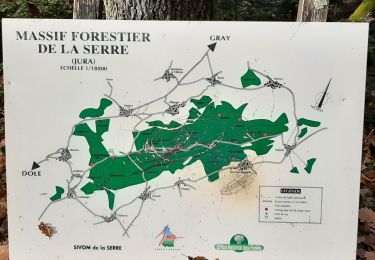
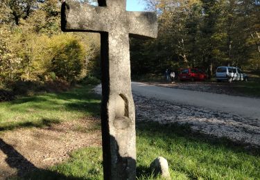
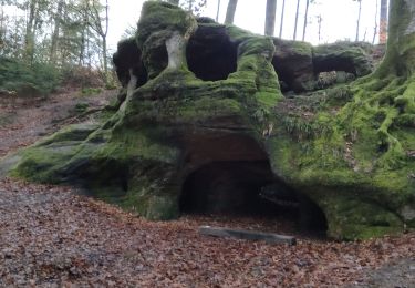
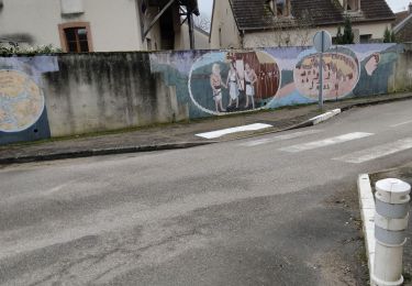
Tocht Stappen van 17,9 km beschikbaar op Bourgondië-Franche-Comté, Jura, Offlanges. Deze tocht wordt voorgesteld door cmike39.
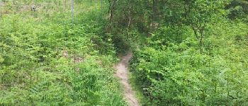
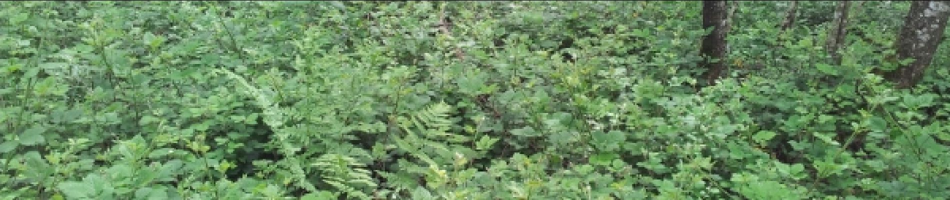
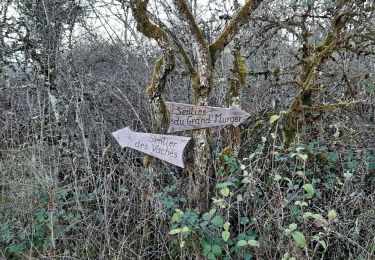
Randonnée FRA. Chemin dans le Ruisseau des Gorges probablement impraticable en période humide si le débit est important.


Noords wandelen

Stappen
Stappen
Stappen
Stappen
Stappen
Stappen
Noords wandelen
Noords wandelen