


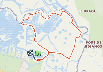

8,6 km | 9 km-effort

Gebruiker


Gratisgps-wandelapplicatie
 SityTrail
IGN / Geografische instituten
SityTrail World
De wereld gaat voor u open
Tocht Stappen van 5,5 km beschikbaar op Nieuw-Aquitanië, Gironde, Le Teich. Deze tocht wordt voorgesteld door eric.mignot.
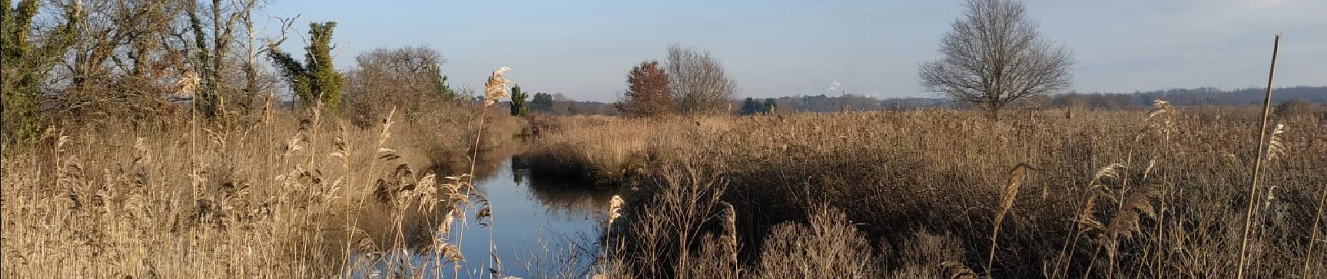
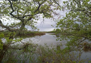
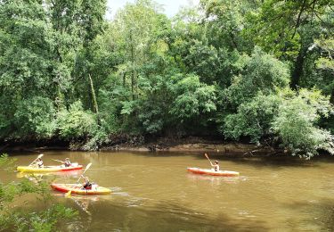
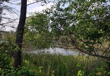
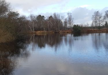
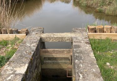
Depuis le port du Teich, d'un bras à l'autre de la Leyre.
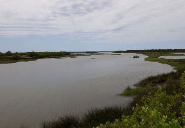
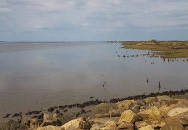
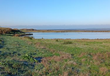
Sentier pouvant être très boueux et glissant ! à éviter si alternance de gel et dégel.

Stappen
Stappen
Hybride fiets
Stappen
Stappen
Stappen
Stappen
Stappen
Stappen