


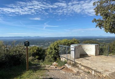
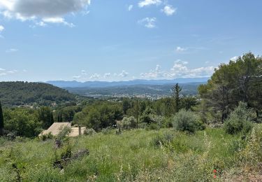
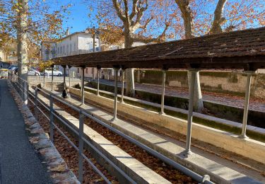
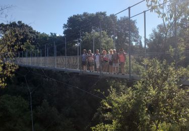
10 km | 14,7 km-effort


Gebruiker


Gratisgps-wandelapplicatie
 SityTrail
IGN / Geografische instituten
SityTrail World
De wereld gaat voor u open
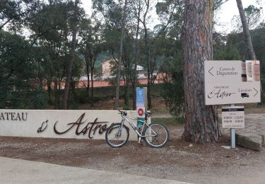
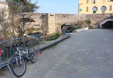
Tocht Wegfiets van 74 km beschikbaar op Provence-Alpes-Côte d'Azur, Var, Draguignan. Deze tocht wordt voorgesteld door Sugg.
super sortie avec les Potes de la Motte......retour Draguignan rebouillon Lorgues vidauban Taradeau les Arcs Sotravie voie verte.....
Stappen
Stappen

Stappen

Stappen

Stappen
Stappen
Stappen
Mountainbike
Mountainbike