

Crêtes de sainte Cécile

tophe13430
Gebruiker

Lengte
7,6 km

Max. hoogte
283 m

Positief hoogteverschil
201 m

Km-Effort
10,3 km

Min. hoogte
102 m

Negatief hoogteverschil
201 m
Boucle
Ja
Datum van aanmaak :
2022-01-15 13:21:51.0
Laatste wijziging :
2022-01-15 15:38:14.3
2h15
Moeilijkheid : Moeilijk

Gratisgps-wandelapplicatie
Over ons
Tocht Trail van 7,6 km beschikbaar op Provence-Alpes-Côte d'Azur, Bouches-du-Rhône, Eyguières. Deze tocht wordt voorgesteld door tophe13430.
Beschrijving
Itinéraire sportif sur les crêtes oscillant entre d’un côté Eyguieres et le vallon des Glauges.
Si vous avez de la chance vous croiserez les chèvres semi sauvages sur la partie sud de l’itinéraire.
Plaatsbepaling
Land:
France
Regio :
Provence-Alpes-Côte d'Azur
Departement/Provincie :
Bouches-du-Rhône
Gemeente :
Eyguières
Locatie:
Unknown
Vertrek:(Dec)
Vertrek:(UTM)
663606 ; 4840832 (31T) N.
Opmerkingen
Wandeltochten in de omgeving
Tour du Mont Menu - MR


Stappen
Gemakkelijk
(1)
Eyguières,
Provence-Alpes-Côte d'Azur,
Bouches-du-Rhône,
France

8,8 km | 11,4 km-effort
2h 34min
Ja
lamanon grottes calas


Stappen
Heel gemakkelijk
(1)
Lamanon,
Provence-Alpes-Côte d'Azur,
Bouches-du-Rhône,
France

9,7 km | 13 km-effort
2h 38min
Neen

Les murs d'abeilles de Lamanon et les grottes de Calès


Stappen
Medium
(1)
Lamanon,
Provence-Alpes-Côte d'Azur,
Bouches-du-Rhône,
France

8,3 km | 12,1 km-effort
2h 45min
Ja
PF-Lamanon - Le Mur aux Abeilles


Stappen
Medium
Lamanon,
Provence-Alpes-Côte d'Azur,
Bouches-du-Rhône,
France

6,5 km | 9,1 km-effort
2h 23min
Ja
La Tour des Opies


Stappen
Moeilijk
Eyguières,
Provence-Alpes-Côte d'Azur,
Bouches-du-Rhône,
France

11,6 km | 16,9 km-effort
3h 33min
Ja
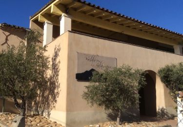
PF-Eyguières - Le Vallon des Glauges


Stappen
Heel gemakkelijk
Eyguières,
Provence-Alpes-Côte d'Azur,
Bouches-du-Rhône,
France

8,4 km | 9,6 km-effort
2h 9min
Ja

Lamanon Cales Facile


Stappen
Gemakkelijk
(1)
Lamanon,
Provence-Alpes-Côte d'Azur,
Bouches-du-Rhône,
France

6,2 km | 8,9 km-effort
1h 30min
Ja
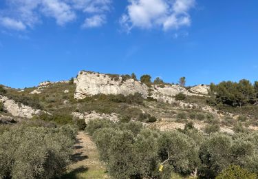
PF-Eyguières - Le Tour du Mont Menu - MR


Stappen
Medium
Eyguières,
Provence-Alpes-Côte d'Azur,
Bouches-du-Rhône,
France

8,9 km | 11,4 km-effort
3h 5min
Ja
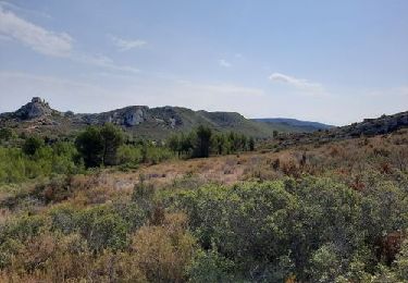
2017-05-15 17:18:59


Stappen
Gemakkelijk
Eyguières,
Provence-Alpes-Côte d'Azur,
Bouches-du-Rhône,
France

9,6 km | 11,1 km-effort
2h 30min
Ja


 SityTrail


