


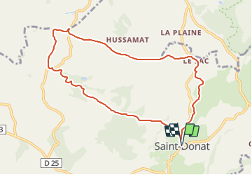

13,8 km | 18,3 km-effort

Gebruiker GUIDE


Gratisgps-wandelapplicatie
 SityTrail
IGN / Geografische instituten
SityTrail World
De wereld gaat voor u open
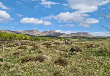
Tocht Stappen van 9,3 km beschikbaar op Auvergne-Rhône-Alpes, Puy-de-Dôme, Saint-Donat. Deze tocht wordt voorgesteld door jagarnier.
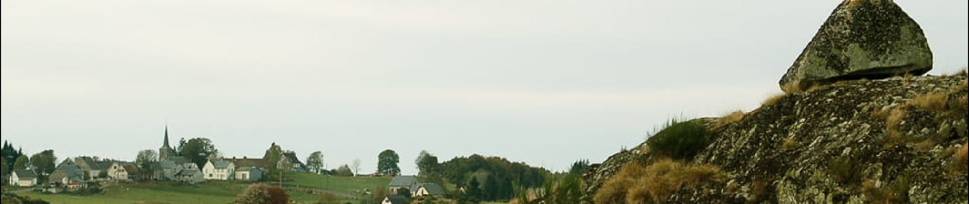
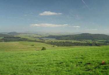
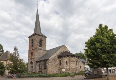
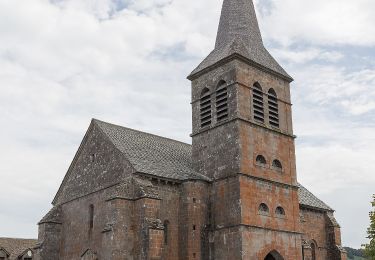
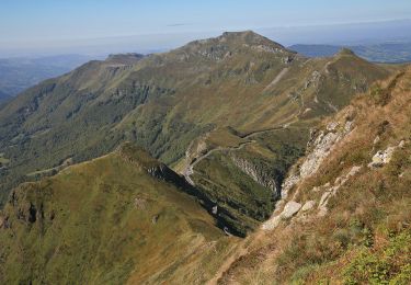
Le plateau de Saint-Donat offre des panoramas sur le Sancy et l’Artense parmi les plus beaux de la région. Les glaciers ont façonné des paysages de landes, fougères et de tourbières. Une curiosité à voir : le rocher en équilibre de «La Roche Juchée».


Stappen
Mountainbike
Te voet
Te voet
Te voet
Te voet

Te voet
Stappen
Stappen