


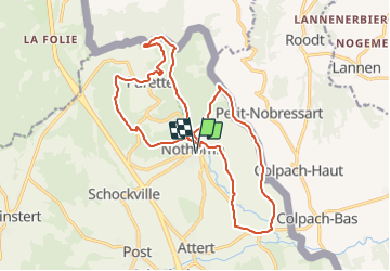


7,8 km | 10,8 km-effort


Randonnez sur et autour des GR ® wallons (Sentiers de Grande Randonnée). PRO


Gratisgps-wandelapplicatie
 SityTrail
IGN / Geografische instituten
SityTrail World
De wereld gaat voor u open
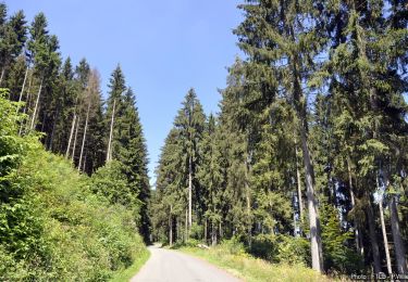
Tocht Stappen van 18,6 km beschikbaar op Wallonië, Luxemburg, Attert. Deze tocht wordt voorgesteld door GR Rando.
Stappen
Stappen
Te voet
Te voet
Stappen

Stappen
Stappen
Te voet
Te voet