


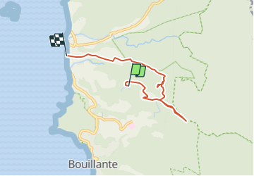

4,5 km | 6,9 km-effort


Gebruiker


Gratisgps-wandelapplicatie
 SityTrail
IGN / Geografische instituten
SityTrail World
De wereld gaat voor u open
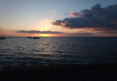
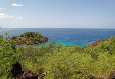
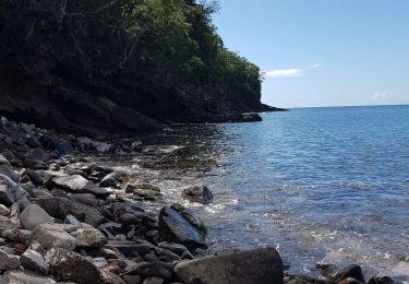
Tocht Stappen van 7,5 km beschikbaar op Guadeloupe, Onbekend, Bouillante. Deze tocht wordt voorgesteld door Jo-Guide.
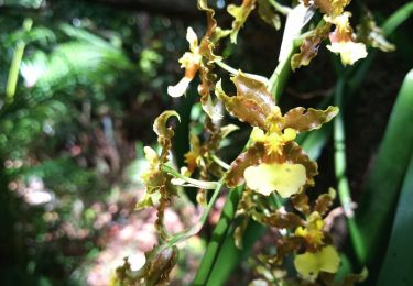
découverte de la forêt mésophile de la côte sous le vent (Bouillante)
découverte de l'historique du canal de Desmarais
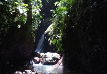
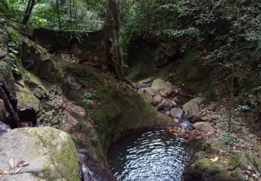
trace marron à travers la forêt jusqu'au cascades et découverte des anciens jardins créoles (vanille, café, cacao...)
Stappen
Stappen

Stappen
Stappen

Stappen
Stappen
Stappen
Kanoën - kajakken
Stappen