22 km | 31 km-effort
Aubrac 03: Fournels-La Chaldette
SERUS
Gebruiker
Lengte
21 km
Max. hoogte
1171 m
Positief hoogteverschil
577 m
Km-Effort
28 km
Min. hoogte
930 m
Negatief hoogteverschil
528 m
Boucle
Neen
Datum van aanmaak :
2019-05-19 20:38:29.001
Laatste wijziging :
2019-05-19 22:29:52.132
5h57
Moeilijkheid : Medium
Gratisgps-wandelapplicatie
Over ons
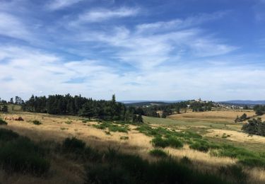
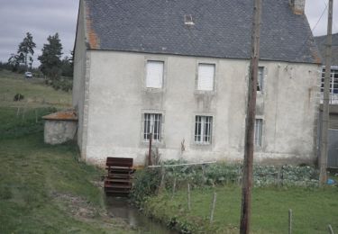
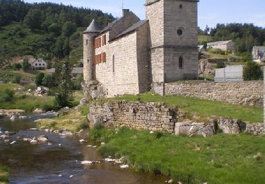
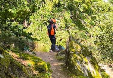
Tocht Stappen van 21 km beschikbaar op Occitanië, Lozère, Fournels. Deze tocht wordt voorgesteld door SERUS.
Beschrijving
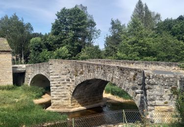
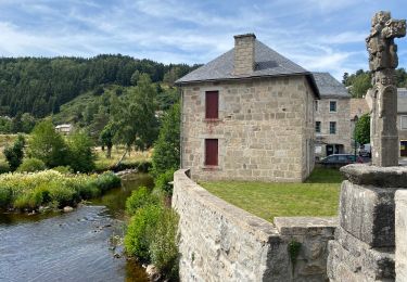
Fournels-Courbepeyre-St Juéry-
Le Cheylaret-La Chaldette
Plaatsbepaling
Land:
France
Regio :
Occitanië
Departement/Provincie :
Lozère
Gemeente :
Fournels
Locatie:
Unknown
Vertrek:(Dec)
Vertrek:(UTM)
509467 ; 4962589 (31T) N.
Opmerkingen
Wandeltochten in de omgeving
2022-05-31_19h34m27_gpx-trace
Te voet
Moeilijk
(1)
Chauchailles,
Occitanië,
Lozère,
France
7h 7min
Ja
sentier des espagnols
Stappen
Moeilijk
Chauchailles,
Occitanië,
Lozère,
France
22 km | 32 km-effort
6h 48min
Ja
Gorges du Bèz sentier des espagnols
Stappen
Zeer moeilijk
Chauchailles,
Occitanië,
Lozère,
France
22 km | 31 km-effort
7h 34min
Ja
Termes Aumont aubrac
Stappen
Medium
Termes,
Occitanië,
Lozère,
France
19,1 km | 23 km-effort
7h 22min
Neen
TERMES 48 - autour de la Rau de la FAGE
Stappen
Medium
Termes,
Occitanië,
Lozère,
France
12,2 km | 15,4 km-effort
2h 36min
Ja
TERMES 48 - petit circuit
Stappen
Gemakkelijk
(1)
Termes,
Occitanië,
Lozère,
France
7,3 km | 8,8 km-effort
1h 46min
Ja
De Fournels à St-Chély-d'Apcher
Stappen
Moeilijk
Fournels,
Occitanië,
Lozère,
France
17,7 km | 23 km-effort
4h 10min
Neen
Les Gorges du Bes
Stappen
Moeilijk
(1)
Chauchailles,
Occitanië,
Lozère,
France
21 km | 30 km-effort
7h 0min
Ja
les Gorges du Bes
Stappen
Medium
Chauchailles,
Occitanië,
Lozère,
France
15,3 km | 21 km-effort
7h 7min
Ja