


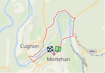

7,3 km | 10 km-effort

Gebruiker


Gratisgps-wandelapplicatie
 SityTrail
IGN / Geografische instituten
SityTrail World
De wereld gaat voor u open
Tocht Te voet van 3,5 km beschikbaar op Wallonië, Luxemburg, Bertrix. Deze tocht wordt voorgesteld door ed1769.
Parking at the church of Mortehan ( 4 km from Herbeumont )
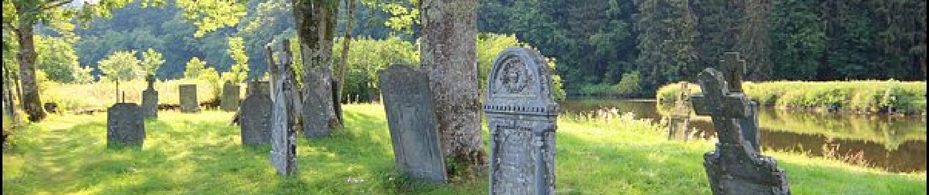
A visit to another world with its shale tombstones from the 16th and 17th centuries, then a fabulous steep path above the semois which is worth walking


Andere activiteiten
Andere activiteiten

Stappen

Stappen
Stappen

Stappen

Stappen

Stappen

Lopen
Prachtige wandeling, niet moeilijk met een paar klimmetjes