


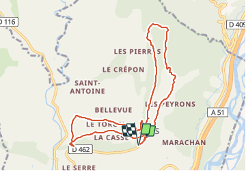


14,6 km | 21 km-effort

Gebruiker GUIDE


Gratisgps-wandelapplicatie
 SityTrail
IGN / Geografische instituten
SityTrail World
De wereld gaat voor u open
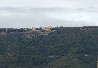
Tocht Stappen van 11,1 km beschikbaar op Provence-Alpes-Côte d'Azur, Alpes-de-Haute-Provence, Lurs. Deze tocht wordt voorgesteld door RobinMicheline.
Super


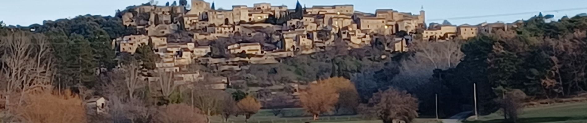
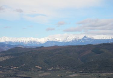
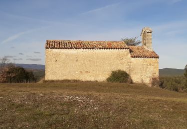
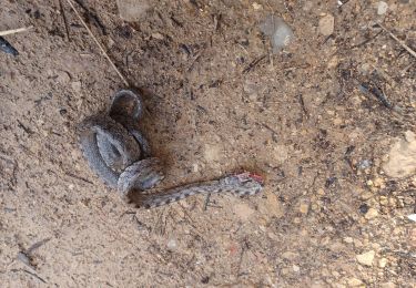
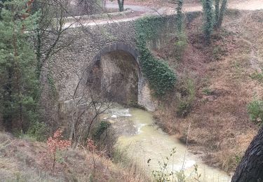
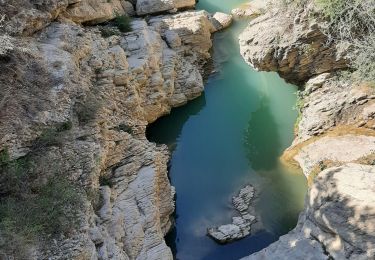
30 fotos in totaal. Klik op een foto om ze allemaal in de galerij weer te geven.

Stappen

Stappen
Stappen
Te voet

Mountainbike
Stappen
Stappen
Stappen
Stappen
Belles photos...sympa la bouclette !!!!!