9,3 km | 12,1 km-effort
Gavray - Berence
mousetik
Gebruiker
Lengte
4,8 km
Max. hoogte
95 m
Positief hoogteverschil
82 m
Km-Effort
5,9 km
Min. hoogte
38 m
Negatief hoogteverschil
82 m
Boucle
Ja
Datum van aanmaak :
2021-12-23 13:38:33.853
Laatste wijziging :
2021-12-23 14:56:55.792
1h18
Moeilijkheid : Gemakkelijk
Gratisgps-wandelapplicatie
Over ons
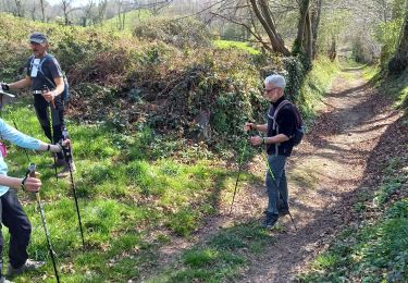
Tocht Stappen van 4,8 km beschikbaar op Normandië, Manche, Gavray-sur-Sienne. Deze tocht wordt voorgesteld door mousetik.
Plaatsbepaling
Land:
France
Regio :
Normandië
Departement/Provincie :
Manche
Gemeente :
Gavray-sur-Sienne
Locatie:
Gavray
Vertrek:(Dec)
Vertrek:(UTM)
621109 ; 5418343 (30U) N.
Opmerkingen
Wandeltochten in de omgeving
gavray 9,3 km
Noords wandelen
Heel gemakkelijk
(2)
La Baleine,
Normandië,
Manche,
France
2h 27min
Ja
Gavray 7,5 km
Noords wandelen
Heel gemakkelijk
(1)
La Baleine,
Normandië,
Manche,
France
7,4 km | 9,8 km-effort
1h 56min
Ja
Gavray 8,5 km
Noords wandelen
Heel gemakkelijk
(1)
La Baleine,
Normandië,
Manche,
France
6 km | 8,1 km-effort
1h 56min
Ja
Gavray - Circuit long
Stappen
Zeer moeilijk
(2)
Gavray-sur-Sienne,
Normandië,
Manche,
France
16,6 km | 21 km-effort
4h 31min
Ja
gavray
Mountainbike
Heel gemakkelijk
Gavray-sur-Sienne,
Normandië,
Manche,
France
24 km | 29 km-effort
2h 31min
Ja
Randonnée autour de Gavray
Mountainbike
Moeilijk
Gavray-sur-Sienne,
Normandië,
Manche,
France
31 km | 39 km-effort
2h 45min
Neen
gavray 2
Mountainbike
Medium
Saint-Denis-le-Gast,
Normandië,
Manche,
France
21 km | 26 km-effort
2h 4min
Ja
La Rue Cavée - Le Mesnil Aubert
Stappen
Medium
Le Mesnil-Aubert,
Normandië,
Manche,
France
10,1 km | 11,7 km-effort
2h 0min
Ja
gavray 12 km
Noords wandelen
Heel gemakkelijk
(2)
La Baleine,
Normandië,
Manche,
France
11,8 km | 15,4 km-effort
2h 27min
Ja