33 km | 40 km-effort
ALENYA
MarcOBRECHT
Gebruiker
Lengte
8,7 km
Max. hoogte
15 m
Positief hoogteverschil
39 m
Km-Effort
9,2 km
Min. hoogte
4 m
Negatief hoogteverschil
40 m
Boucle
Ja
Datum van aanmaak :
2021-12-08 12:16:30.839
Laatste wijziging :
2021-12-08 14:54:15.438
2h13
Moeilijkheid : Medium
Gratisgps-wandelapplicatie
Over ons
Tocht Stappen van 8,7 km beschikbaar op Occitanië, Pyrénées-Orientales, Alénya. Deze tocht wordt voorgesteld door MarcOBRECHT.
Beschrijving
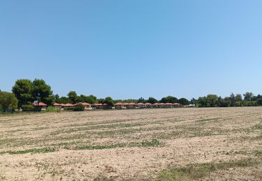
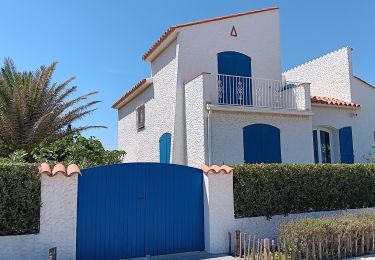
Autour du village
Plaatsbepaling
Land:
France
Regio :
Occitanië
Departement/Provincie :
Pyrénées-Orientales
Gemeente :
Alénya
Locatie:
Unknown
Vertrek:(Dec)
Vertrek:(UTM)
498433 ; 4720766 (31T) N.
Opmerkingen
Wandeltochten in de omgeving
Villeneuve-de-la-Raho-Collioure (Septembre/Juin)
Quad
Medium
(1)
Montescot,
Occitanië,
Pyrénées-Orientales,
France
1h 45min
Neen
66 THEZA - CORNEILLA-DEL-VERCOL
Stappen
Gemakkelijk
(2)
Théza,
Occitanië,
Pyrénées-Orientales,
France
7 km | 7,5 km-effort
1h 8min
Ja
SAINT-CYPRIEN 66 - front de mer - les CAPELLANS
Stappen
Gemakkelijk
(2)
Saint-Cyprien,
Occitanië,
Pyrénées-Orientales,
France
9,9 km | 10,3 km-effort
2h 11min
Ja
bocal du Tech
Paard
Medium
(1)
Saint-Cyprien,
Occitanië,
Pyrénées-Orientales,
France
17 km | 17,7 km-effort
3h 20min
Ja
66 SALEILLES - St-NAZAIRE, entre FOSSEILLE et REART
Stappen
Gemakkelijk
(1)
Saleilles,
Occitanië,
Pyrénées-Orientales,
France
7,3 km | 7,7 km-effort
1h 8min
Ja
Soleil les mas guillemet
Stappen
Medium
Saint-Nazaire,
Occitanië,
Pyrénées-Orientales,
France
8,3 km | 8,7 km-effort
2h 52min
Ja
m'as d allo
Stappen
Medium
Saint-Nazaire,
Occitanië,
Pyrénées-Orientales,
France
8,5 km | 9,2 km-effort
2h 51min
Ja
st cyprien les monges. St cyprien plage . St cyprien port . capellans . retou...
Stappen
Gemakkelijk
Saint-Cyprien,
Occitanië,
Pyrénées-Orientales,
France
10,7 km | 11,2 km-effort
2h 20min
Ja
petit tour à St Cyprien
Stappen
Gemakkelijk
Saint-Cyprien,
Occitanië,
Pyrénées-Orientales,
France
10,4 km | 10,9 km-effort
3h 6min
Ja