


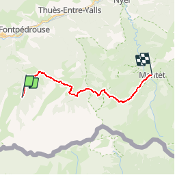

9,3 km | 18,5 km-effort


Gebruiker


Gratisgps-wandelapplicatie
 SityTrail
IGN / Geografische instituten
SityTrail World
De wereld gaat voor u open
Tocht Stappen van 17,1 km beschikbaar op Occitanië, Pyrénées-Orientales, Fontpédrouse. Deze tocht wordt voorgesteld door loic09.
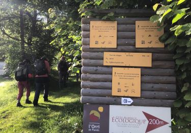
Refuge de l'Orry/Mantet

Stappen

Stappen
Stappen

Stappen
Stappen
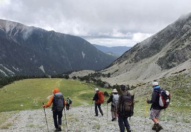
Stappen
Stappen
Stappen

Stappen