Tocht Stappen Castanet - moines1 - Photo
 jab31
jab31

Gebruiker

© OpenStreetMap contributors
Lengte
Lengte
21 km
Max. hoogte
Max. hoogte
309 m
Positief hoogteverschil
435 m
Km-Effort
Km-Effort  
27 km
Min. hoogte
Min. hoogte
187 m
Negatief hoogteverschil
437 m
Boucle
Boucle
Ja
Datum van aanmaak :
2021-11-28 09:03:14.036
Laatste wijziging :
2021-11-28 09:24:55.56

(0 Bericht)

Stappen
Stappen
--
Moeilijkheid : Onbekend

Scan deze QR-code om de tocht te openen in de SityTrail-applicatie

Gratisgps-wandelapplicatie

Logo SityTrail SityTrail

IGN / Geografische instituten

SityTrail uit de App Store downloaden SityTrail uit Google Play downloaden

Logo SityTrail SityTrail World

De wereld gaat voor u open

SityTrail uit de App Store downloaden SityTrail uit Google Play downloaden SityTrail op Huawei AppGallery downloaden

Over ons

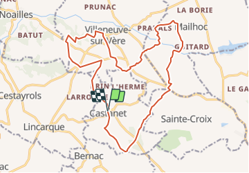
Tocht Stappen van 21 km beschikbaar op Occitanië, Tarn, Castanet. Deze tocht wordt voorgesteld door jab31.

Beschrijving

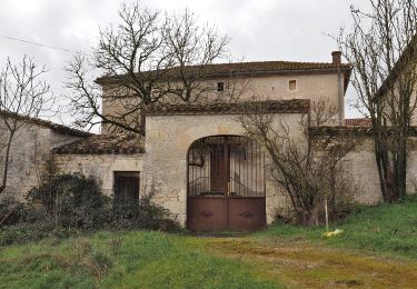
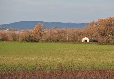
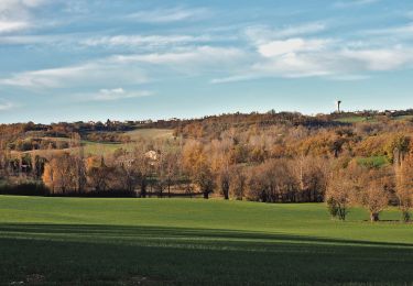
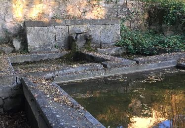
Chemin des Moines passant par Villeneuve sur Vère

Hoogteprofiel

Plaatsbepaling

Land:
France
Regio :
Occitanië
Departement/Provincie :
Tarn
Gemeente :
Castanet
Locatie:
Unknown
Vertrek:(UTM)
422133 ; 4869569 (31T) N.

Wandeltochten in de omgeving

Tocht Noords wandelen Castelnau-de-Lévis - Castelnau de Lévis - Photo
Noords wandelen
chripaci

Noords wandelen

Gemakkelijk
Castelnau-de-Lévis, Occitanië, Tarn, France
11,2 km | 14,5 km-effort
2h 33min
Ja
Tocht Stappen Cestayrols - Lincarque autrement - Photo
Stappen
tercla

Stappen

Medium
Cestayrols, Occitanië, Tarn, France
11,8 km | 14,8 km-effort
2h 43min
Ja
Tocht Stappen Villeneuve-sur-Vère - Villeneuve sur Vere via Milhavet (version 2) - Photo
Stappen
tercla

Stappen

Heel gemakkelijk
Villeneuve-sur-Vère, Occitanië, Tarn, France
14,9 km | 18,9 km-effort
4h 50min
Ja
Tocht Stappen Villeneuve-sur-Vère - Boucle Villeneuve-sur-Vere/Roumanou - Photo
Stappen
tercla

Stappen

Heel gemakkelijk
Villeneuve-sur-Vère, Occitanië, Tarn, France
20 km | 25 km-effort
5h 2min
Ja
Tocht Te voet Castelnau-de-Lévis - Castelnau de Levis version courte - Photo
Te voet
tercla

Te voet

Heel gemakkelijk
Castelnau-de-Lévis, Occitanië, Tarn, France
12,2 km | 15,5 km-effort
Onbekend
Ja
Tocht Stappen Cestayrols - cestayrols - Photo
Stappen
la_hulotte

Stappen

Heel gemakkelijk
Cestayrols, Occitanië, Tarn, France
9,9 km | 12,4 km-effort
2h 56min
Ja
Tocht Stappen Cestayrols - cestayrols - Photo
Stappen
la_hulotte

Stappen

Heel gemakkelijk
Cestayrols, Occitanië, Tarn, France
9,9 km | 12,4 km-effort
2h 56min
Ja
Tocht Stappen Castelnau-de-Lévis - Castelnau de Levis 2024/06 - Photo
Stappen
Frayssinet

Stappen

Moeilijk
Castelnau-de-Lévis, Occitanië, Tarn, France
12,1 km | 15,6 km-effort
3h 33min
Ja
Tocht Noords wandelen Cestayrols - Sentier des chevaux Cestayrol - Photo
Noords wandelen
chripaci

Noords wandelen

Medium
(1)
Cestayrols, Occitanië, Tarn, France
9,7 km | 12,1 km-effort
2h 13min
Ja


Sluiten
Mijn abonnementen