13,1 km | 26 km-effort
Pic de Ginèvre - Station de ski Puyvalador
SoleilMoussanais
Gebruiker
Lengte
8,9 km
Max. hoogte
2369 m
Positief hoogteverschil
630 m
Km-Effort
17,3 km
Min. hoogte
1757 m
Negatief hoogteverschil
629 m
Boucle
Ja
Datum van aanmaak :
2021-11-27 16:19:38.124
Laatste wijziging :
2021-11-27 16:22:22.685
5h00
Moeilijkheid : Medium
Gratisgps-wandelapplicatie
Over ons
Tocht Stappen van 8,9 km beschikbaar op Occitanië, Pyrénées-Orientales, Puyvalador. Deze tocht wordt voorgesteld door SoleilMoussanais.
Beschrijving
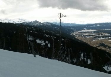
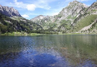
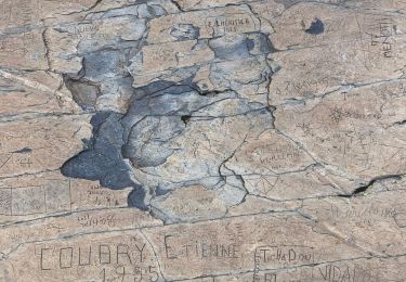
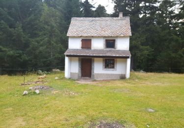
Randonnée sauvage loin des foules qui conduit au Pic de Ginèvre et au panorama à 360°.
Plaatsbepaling
Land:
France
Regio :
Occitanië
Departement/Provincie :
Pyrénées-Orientales
Gemeente :
Puyvalador
Locatie:
Unknown
Vertrek:(Dec)
Vertrek:(UTM)
424807 ; 4722578 (31T) N.
Opmerkingen
Wandeltochten in de omgeving
Les Camporells par la Lladure
Stappen
Medium
(1)
Formiguères,
Occitanië,
Pyrénées-Orientales,
France
15,1 km | 24 km-effort
5h 7min
Ja
Roc Blanc par Laurenti
Stappen
Moeilijk
(1)
Le Pla,
Occitanië,
Ariège,
France
11,9 km | 24 km-effort
4h 48min
Ja
20240728 Station Formiguères - Camporeils
sport
Heel gemakkelijk
Formiguères,
Occitanië,
Pyrénées-Orientales,
France
16 km | 27 km-effort
Onbekend
Ja
Puyvalador tour du lac
Stappen
Heel gemakkelijk
Puyvalador,
Occitanië,
Pyrénées-Orientales,
France
12,1 km | 15,9 km-effort
3h 39min
Ja
20210819 Porteille d’Orlu, étang du diable
Stappen
Moeilijk
Formiguères,
Occitanië,
Pyrénées-Orientales,
France
16,4 km | 29 km-effort
5h 3min
Ja
20210710 pla del bosc - Foumigueres
Stappen
Gemakkelijk
Formiguères,
Occitanië,
Pyrénées-Orientales,
France
12,5 km | 18,3 km-effort
2h 47min
Ja
Formigueres el collet
Sneeuwschoenen
Heel gemakkelijk
Formiguères,
Occitanië,
Pyrénées-Orientales,
France
6,4 km | 8,7 km-effort
2h 47min
Ja
Roc blanc .étang du Laurenti (Ariège )
Stappen
Moeilijk
Le Pla,
Occitanië,
Ariège,
France
13,1 km | 26 km-effort
9h 32min
Ja