


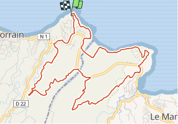

9,1 km | 13,9 km-effort

Gebruiker GUIDE


Gratisgps-wandelapplicatie
 SityTrail
IGN / Geografische instituten
SityTrail World
De wereld gaat voor u open
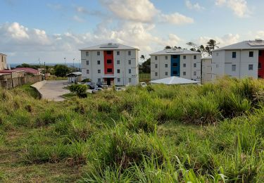
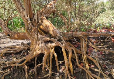
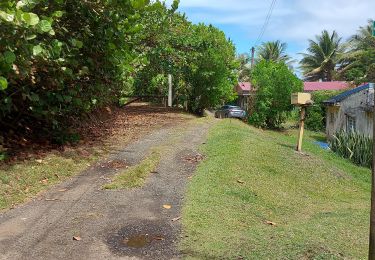
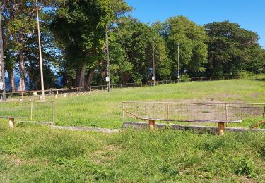
Tocht Stappen van 10,2 km beschikbaar op Martinique, Onbekend, Le Lorrain. Deze tocht wordt voorgesteld door Lamartiniere.
Cette randonnée de 10 kms entre Le Lorrain et Le Marigot, en grande partie sur des terrains agricoles nécessite des autorisations de passages si possible avec assaurance en règle, notamment sur l' habitation Duhaumont au Marigot. Retour par le SLNA.


Stappen
Stappen

Stappen

Stappen
Stappen

Stappen
Stappen
Stappen
Stappen