


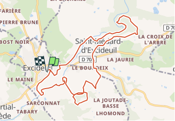

10,2 km | 14 km-effort

Gebruiker


Gratisgps-wandelapplicatie
 SityTrail
IGN / Geografische instituten
SityTrail World
De wereld gaat voor u open
Tocht Te voet van 12 km beschikbaar op Nieuw-Aquitanië, Dordogne, Excideuil. Deze tocht wordt voorgesteld door CC.RIDER.
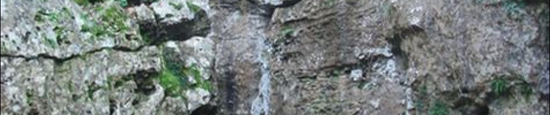
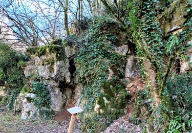
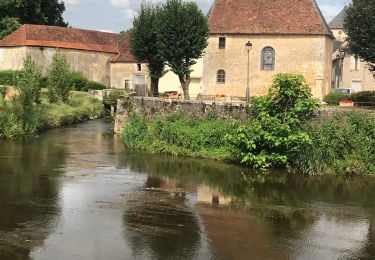
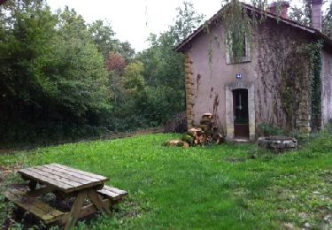
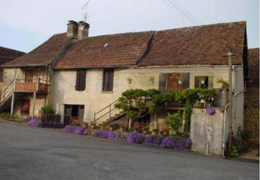
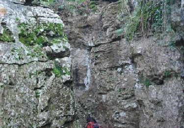
Randonnée au départ d'Excideuil puis sur les bords de la Loue. Au programme, moulins, châteaux et la falaise des Roches Enchantées qui méritent le détour.


Stappen
Stappen
Stappen
Stappen
Stappen
Mountainbike

Stappen
Stappen

Stappen