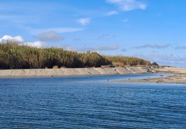
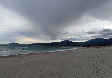
7 km | 7,5 km-effort
Footing St cyprien
starco
Gebruiker
Lengte
12,4 km
Max. hoogte
7 m
Positief hoogteverschil
42 m
Km-Effort
13 km
Min. hoogte
-2 m
Negatief hoogteverschil
42 m
Boucle
Ja
Datum van aanmaak :
2021-10-30 11:51:39.0
Laatste wijziging :
2021-10-30 13:31:55.859
1h39
Moeilijkheid : Medium
Gratisgps-wandelapplicatie
Over ons
Tocht Lopen van 12,4 km beschikbaar op Occitanië, Pyrénées-Orientales, Saint-Cyprien. Deze tocht wordt voorgesteld door starco.
Beschrijving
Plages
Plaatsbepaling
Land:
France
Regio :
Occitanië
Departement/Provincie :
Pyrénées-Orientales
Gemeente :
Saint-Cyprien
Locatie:
Unknown
Vertrek:(Dec)
Vertrek:(UTM)
500062 ; 4718716 (31T) N.
Opmerkingen
Wandeltochten in de omgeving
66 THEZA - CORNEILLA-DEL-VERCOL
Stappen
Gemakkelijk
(2)
Théza,
Occitanië,
Pyrénées-Orientales,
France
1h 8min
Ja
SAINT-CYPRIEN 66 - front de mer - les CAPELLANS
Stappen
Gemakkelijk
(2)
Saint-Cyprien,
Occitanië,
Pyrénées-Orientales,
France
9,9 km | 10,3 km-effort
2h 11min
Ja
bocal du Tech
Paard
Medium
(1)
Saint-Cyprien,
Occitanië,
Pyrénées-Orientales,
France
17 km | 17,7 km-effort
3h 20min
Ja
66 SALEILLES - St-NAZAIRE, entre FOSSEILLE et REART
Stappen
Gemakkelijk
(1)
Saleilles,
Occitanië,
Pyrénées-Orientales,
France
7,3 km | 7,7 km-effort
1h 8min
Ja
Soleil les mas guillemet
Stappen
Medium
Saint-Nazaire,
Occitanië,
Pyrénées-Orientales,
France
8,3 km | 8,7 km-effort
2h 52min
Ja
mas larrieux automnal rive elne
Stappen
Heel gemakkelijk
Argelès-sur-Mer,
Occitanië,
Pyrénées-Orientales,
France
5,6 km | 5,8 km-effort
1h 38min
Ja
Boucle du Mas Larrieu
Stappen
Gemakkelijk
Argelès-sur-Mer,
Occitanië,
Pyrénées-Orientales,
France
6,5 km | 6,7 km-effort
1h 42min
Ja
m'as d allo
Stappen
Medium
Saint-Nazaire,
Occitanië,
Pyrénées-Orientales,
France
8,5 km | 9,2 km-effort
2h 51min
Ja
mas larrieu - argeles / l hiver
Stappen
Medium
Argelès-sur-Mer,
Occitanië,
Pyrénées-Orientales,
France
8,7 km | 9,1 km-effort
2h 17min
Ja