


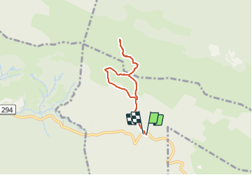

13,7 km | 27 km-effort

Gebruiker GUIDE


Gratisgps-wandelapplicatie
 SityTrail
IGN / Geografische instituten
SityTrail World
De wereld gaat voor u open
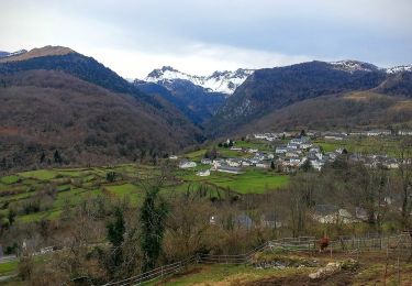
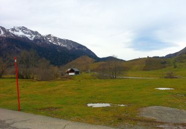
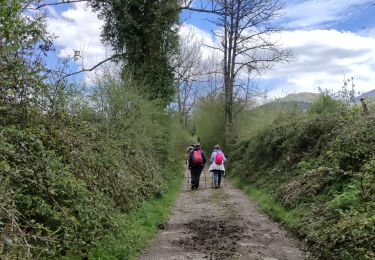
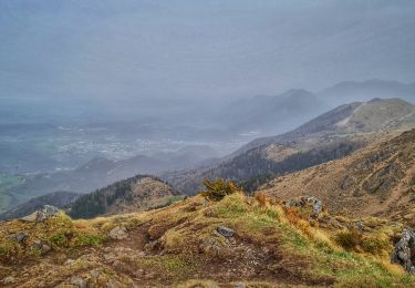
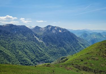
Tocht Stappen van 6 km beschikbaar op Nieuw-Aquitanië, Pyrénées-Atlantiques, Bilhères. Deze tocht wordt voorgesteld door marmotte65.


Stappen

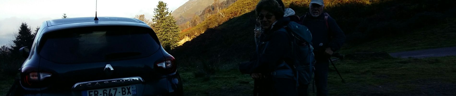
Te voet
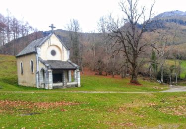
Te voet
Te voet
Te voet
Te voet
Stappen
Stappen
Stappen