Tocht Stappen Wolschwiller - Le sentier des douaniers - Wolschwiller - Photo

Le sentier des douaniers - Wolschwiller

 helmut68
helmut68

Gebruiker

© OpenStreetMap contributors
Lengte
Lengte
12,2 km
Max. hoogte
Max. hoogte
828 m
Positief hoogteverschil
440 m
Km-Effort
Km-Effort  
18,1 km
Min. hoogte
Min. hoogte
441 m
Negatief hoogteverschil
439 m
Boucle
Boucle
Ja
Datum van aanmaak :
2021-10-24 08:51:31.399
Laatste wijziging :
2021-10-24 17:29:39.343

(1 Bericht)

Stappen
Stappen
3h30
Moeilijkheid : Medium

Scan deze QR-code om de tocht te openen in de SityTrail-applicatie

Gratisgps-wandelapplicatie

Logo SityTrail SityTrail
IGN / Geografische instituten

SityTrail uit de App Store downloaden SityTrail uit Google Play downloaden

Logo SityTrail SityTrail World
De wereld gaat voor u open

SityTrail uit de App Store downloaden SityTrail uit Google Play downloaden SityTrail op Huawei AppGallery downloaden

Over ons

Tocht Stappen van 12,2 km beschikbaar op Grand Est, Haut-Rhin, Wolschwiller. Deze tocht wordt voorgesteld door helmut68.

Beschrijving

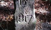
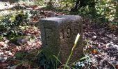
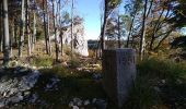
La chaîne du Raemel culmine à 832 m , c'est le point le plus haut du Jura alsacien , on y accède par le " sentier des douaniers " qui suit la frontière franco-suisse .
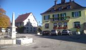
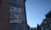
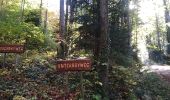
Départ du parking de la mairie de Wolschwiller , empruntez la rue de Kiffis puis  200 m plus loin , prenez à gauche en suivant le balisage " triangle rouge "
Environ 1,5 km plus loin  , empruntez l'Unterabyweg toujours balisé " triangle rouge".
Ensuite prenez à gauche vers le Naegeliberg et  
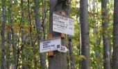
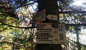
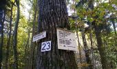
le Raemelsberg balisés " triangle bleu " pour rejoindre le sentier des douaniers balisé " chevalet jaune " .
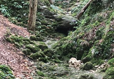
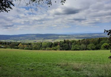
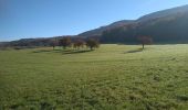
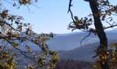
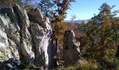
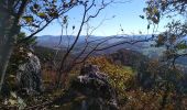
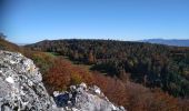
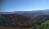
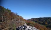
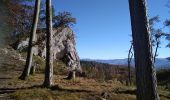
Profitez des multiples points de vue sur les Alpes Suisses , la vallée Suisse proche , les oiseaux ...
Continuez votre randonnée jusqu'au village Suisse de Burg en suivant le balisage " losange jaune " ( parfois peint sur le tronc des arbres ). Un château construit vers 1250 et encore habité mérite un petit détour . Redescendez vers la petite place de la fontaine et prenez la rue du Gassweg ( pas balisé) qui mène dans la forêt dont le chemin forestier est balisé à nouveau " losange jaune " jusqu'au parking de la mairie de Wolschwiller.
Alors à vos chaussures !

Hoogteprofiel

Foto's

46 fotos in totaal. Klik op een foto om ze allemaal in de galerij weer te geven.

Plaatsbepaling

Land:
France
Regio :
Grand Est
Departement/Provincie :
Haut-Rhin
Gemeente :
Wolschwiller
Locatie:
Unknown
Vertrek:(UTM)
380067 ; 5257732 (32T) N.

Opmerkingen

Gelieve in te loggen om een commentaar of een beoordeling achter te laten


Wandeltochten in de omgeving

Tocht Stappen Biederthal - JD 15/20 Pedibus Biederthal - Photo
Stappen
argonneuweg

Stappen

(1)
Biederthal, Grand Est, Haut-Rhin, France
8,2 km | 11,4 km-effort
2h 33min
Ja
Tocht Elektrische fiets Bouxwiller - sortie vtt 14082024 - Photo
Elektrische fiets
GUIDE
fabwin

Elektrische fiets

Gemakkelijk
Bouxwiller, Grand Est, Haut-Rhin, France
41 km | 50 km-effort
2h 55min
Ja
Tocht Stappen Wolschwiller - Rando 05/07/2024 - Photo
Stappen
boubou68

Stappen

Moeilijk
Wolschwiller, Grand Est, Haut-Rhin, France
11,7 km | 17,5 km-effort
3h 15min
Ja
Tocht Stappen Wolschwiller - Rando CLAS du 09/05/202..par PBo - Photo
Stappen
boubou68

Stappen

Zeer moeilijk
Wolschwiller, Grand Est, Haut-Rhin, France
20 km | 30 km-effort
4h 24min
Ja
Tocht Stappen Wolschwiller - Reco Rando CLAS du 09/05/2024 - Photo
Stappen
boubou68

Stappen

Zeer moeilijk
Wolschwiller, Grand Est, Haut-Rhin, France
18,9 km | 28 km-effort
3h 54min
Ja
Tocht Stappen Lutter - rdpr 20200929 lutter - Photo
Stappen
GUIDE
stempfel52

Stappen

Moeilijk
Lutter, Grand Est, Haut-Rhin, France
15,8 km | 23 km-effort
4h 52min
Ja
Tocht Stappen Wolschwiller - wolschwiller - Photo
Stappen
jcguew

Stappen

Gemakkelijk
Wolschwiller, Grand Est, Haut-Rhin, France
7,3 km | 12,7 km-effort
4h 15min
Neen
Tocht Paard Bouxwiller - Bouxwiller Doubs Franche Montagne - Photo
Paard
meggstone

Paard

Moeilijk
(1)
Bouxwiller, Grand Est, Haut-Rhin, France
104 km | 146 km-effort
18h 22min
Neen
Tocht Stappen Oltingue - randonnée au départ d'Oltingue chapelle St Martin - Photo
Stappen
sitykathy

Stappen

Moeilijk
Oltingue, Grand Est, Haut-Rhin, France
13,4 km | 18,2 km-effort
3h 25min
Ja


Sluiten
Mijn abonnementen