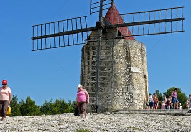
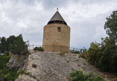
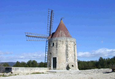
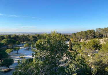
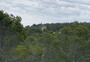
Tocht Stappen Fontvieille - Mont Paon, Vallon de Lèque à Fontvieille - Photo

Mont Paon, Vallon de Lèque à Fontvieille

 Nathy8913
Nathy8913

Gebruiker

© OpenStreetMap contributors
Lengte
Lengte
14,1 km
Max. hoogte
Max. hoogte
209 m
Positief hoogteverschil
365 m
Km-Effort
Km-Effort  
19 km
Min. hoogte
Min. hoogte
30 m
Negatief hoogteverschil
367 m
Boucle
Boucle
Ja
Datum van aanmaak :
2021-10-24 08:35:50.925
Laatste wijziging :
2021-10-24 08:49:41.676

(0 Bericht)

Stappen
Stappen
4h18
Moeilijkheid : Medium

Scan deze QR-code om de tocht te openen in de SityTrail-applicatie

Gratisgps-wandelapplicatie

Logo SityTrail SityTrail

IGN / Geografische instituten

SityTrail uit de App Store downloaden SityTrail uit Google Play downloaden

Logo SityTrail SityTrail World

De wereld gaat voor u open

SityTrail uit de App Store downloaden SityTrail uit Google Play downloaden SityTrail op Huawei AppGallery downloaden

Over ons

Tocht Stappen van 14,1 km beschikbaar op Provence-Alpes-Côte d'Azur, Bouches-du-Rhône, Fontvieille. Deze tocht wordt voorgesteld door Nathy8913.

Hoogteprofiel

POI's

POI Fontvieille - Stationnement portail ouest du château d'Estoublon - Photo
Nathy8913
POI Fontvieille - Petite canal - Photo
Nathy8913
FONTVIEILLE 
POI Fontvieille - Nouvelle traversée de la D33A - Photo
Nathy8913
POI Tarascon - Chapelle Saint-Jean - Photo
Nathy8913
POI Fontvieille - Traversée de la D33A - Photo
Nathy8913
POI Saint-Étienne-du-Grès - Bifurcation aller-retour à la Tour de Guet - Photo
Nathy8913
SAINT-ÉTIENNE-DU-GRÈS 
POI Fontvieille - Église Ruinée de Saint-Peire - Photo
Nathy8913
POI Fontvieille - Vallon de la Lèque - Photo
Nathy8913
FONTVIEILLE 
POI Fontvieille - Vallon de Cabrières  - Photo
Nathy8913
POI Fontvieille - Chemin à droite - Photo
Nathy8913
FONTVIEILLE 
POI Fontvieille -  Route du Mas d'Auge à gauche - Photo
Nathy8913
POI Fontvieille - À droite vers la route du Mas d'Auge - Photo
Nathy8913
POI Fontvieille - Castrum du Mont Paon - Photo
Nathy8913
POI Fontvieille - Bifurcation vers le  Mont Paon - Photo
Nathy8913
POI Fontvieille - Carrefour de la boucle - Photo
Nathy8913
POI Fontvieille - Stationnement portail ouest du château d'Estoublon - Photo
Nathy8913

Plaatsbepaling

Land:
France
Regio :
Provence-Alpes-Côte d'Azur
Departement/Provincie :
Bouches-du-Rhône
Gemeente :
Fontvieille
Locatie:
Unknown
Vertrek:(UTM)
639726 ; 4843981 (31T) N.

Wandeltochten in de omgeving

Tocht Stappen Fontvieille - du moulin de Daudet à l'aqueduc romain - Photo
Stappen
hervef13300

Stappen

Medium
(2)
Fontvieille, Provence-Alpes-Côte d'Azur, Bouches-du-Rhône, France
14,2 km | 17,2 km-effort
3h 59min
Ja
Tocht Stappen Fontvieille - Fontvieille sur les pas de Daudet  - Photo
Stappen
tracegps

Stappen

Medium
(3)
Fontvieille, Provence-Alpes-Côte d'Azur, Bouches-du-Rhône, France
12,8 km | 15,3 km-effort
2h 34min
Ja
Tocht Stappen Fontvieille - Autour de Fontvielle - Photo
Stappen
GUIDE
nadinebondoux

Stappen

Medium
Fontvieille, Provence-Alpes-Côte d'Azur, Bouches-du-Rhône, France
14,5 km | 17,2 km-effort
4h 24min
Ja
Tocht Stappen Saint-Étienne-du-Grès - ND du Château - Photo
Stappen
Amaralain

Stappen

Gemakkelijk
(1)
Saint-Étienne-du-Grès, Provence-Alpes-Côte d'Azur, Bouches-du-Rhône, France
10 km | 13,6 km-effort
2h 59min
Ja
Tocht Stappen Fontvieille - Fontvieille circuit bleu - Photo
Stappen
didier.zimmermann

Stappen

Heel gemakkelijk
(1)
Fontvieille, Provence-Alpes-Côte d'Azur, Bouches-du-Rhône, France
10,4 km | 12,7 km-effort
2h 46min
Ja
Tocht Stappen Les Baux-de-Provence - alpilles , les baux -st etienne du grès - Photo
Stappen
ritchi

Stappen

Medium
(1)
Les Baux-de-Provence, Provence-Alpes-Côte d'Azur, Bouches-du-Rhône, France
12,6 km | 16 km-effort
3h 32min
Ja
Tocht Stappen Fontvieille - Fontvieille - Photo
Stappen
GUIDE
Roger Philippe Wallez

Stappen

Moeilijk
Fontvieille, Provence-Alpes-Côte d'Azur, Bouches-du-Rhône, France
14,4 km | 17 km-effort
4h 13min
Ja
Tocht Stappen Tarascon - Chapelle Saint Gabriel - Photo
Stappen
GUIDE
Roger Philippe Wallez

Stappen

Zeer moeilijk
Tarascon, Provence-Alpes-Côte d'Azur, Bouches-du-Rhône, France
18,6 km | 25 km-effort
5h 23min
Ja
Tocht Stappen Les Baux-de-Provence - les Baux de Provence  - Photo
Stappen
alinetpierre

Stappen

Medium
Les Baux-de-Provence, Provence-Alpes-Côte d'Azur, Bouches-du-Rhône, France
16 km | 21 km-effort
3h 51min
Ja


Sluiten
Mijn abonnementen