


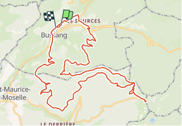

15 km | 24 km-effort

Gebruiker GUIDE


Gratisgps-wandelapplicatie
 SityTrail
IGN / Geografische instituten
SityTrail World
De wereld gaat voor u open
Tocht Mountainbike van 30 km beschikbaar op Grand Est, Vogezen, Bussang. Deze tocht wordt voorgesteld door pascalou73.
Voilà une belle randonnée de la région des haute VOSGES ici une sortie avec un VTTAE pour voir la différence . le top .une randonnée très variée sur une très belle région pour faire du VTT..
camping
https://domaine-de-champe.fr/
location de VTT
https://www.ebikeoxygen.fr/


Stappen

Sneeuwschoenen

Stappen

Stappen

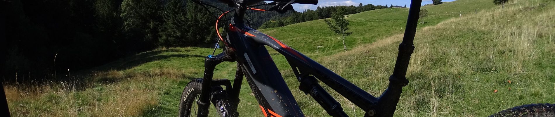
Mountainbike

Mountainbike

Stappen

Te voet

Te voet