


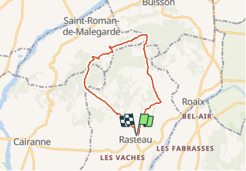

6,3 km | 9,8 km-effort


Gebruiker


Gratisgps-wandelapplicatie
 SityTrail
IGN / Geografische instituten
SityTrail World
De wereld gaat voor u open
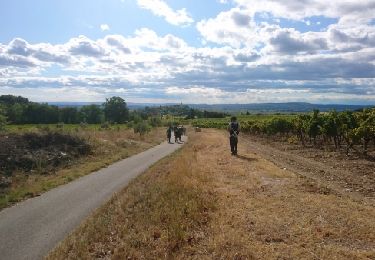
Tocht Te voet van 13,3 km beschikbaar op Provence-Alpes-Côte d'Azur, Vaucluse, Rasteau. Deze tocht wordt voorgesteld door jeanneruols.
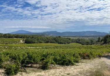
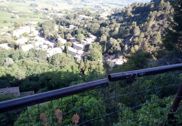
contraste saisissant entre un versany sud viticole vers l'Ouvèze et un versant nord plud raide dominant l'Aygues

Stappen
Stappen
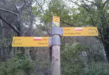
Stappen

Stappen
Stappen

Stappen
Stappen
Stappen
Stappen