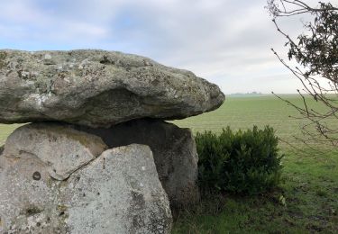
10,7 km | 11,7 km-effort
Villiers, Chantemerle, Potangis
NANE51
Gebruiker
Lengte
12,7 km
Max. hoogte
186 m
Positief hoogteverschil
186 m
Km-Effort
15,2 km
Min. hoogte
74 m
Negatief hoogteverschil
186 m
Boucle
Ja
Datum van aanmaak :
2021-10-18 14:08:49.0
Laatste wijziging :
2021-10-18 14:08:50.55
3h27
Moeilijkheid : Gemakkelijk
Gratisgps-wandelapplicatie
Over ons
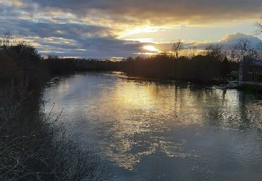
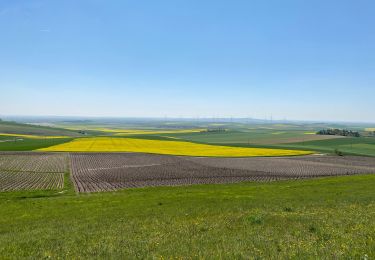
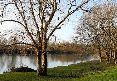
Tocht Stappen van 12,7 km beschikbaar op Grand Est, Marne, Villiers-aux-Corneilles. Deze tocht wordt voorgesteld door NANE51.
Beschrijving
Départ de la mairie de Villiers
Plaatsbepaling
Land:
France
Regio :
Grand Est
Departement/Provincie :
Marne
Gemeente :
Villiers-aux-Corneilles
Locatie:
Unknown
Vertrek:(Dec)
Vertrek:(UTM)
550112 ; 5380764 (31U) N.
Opmerkingen
Wandeltochten in de omgeving
ENTRE CONFLANS SUR SEINE ET MARCILLY SUR SEINE
Stappen
Medium
Conflans-sur-Seine,
Grand Est,
Marne,
France
2h 39min
Ja
Boucle Potangis Le Perre Chantemerle Bethon
Stappen
Gemakkelijk
Potangis,
Grand Est,
Marne,
France
16,4 km | 19,6 km-effort
3h 33min
Ja
Boucle Saron les éoliennes
Stappen
Saron-sur-Aube,
Grand Est,
Marne,
France
9,1 km | 10 km-effort
1h 51min
Ja
au départ de CONFLANS sur SEINE
Stappen
Gemakkelijk
Conflans-sur-Seine,
Grand Est,
Marne,
France
15,7 km | 17,5 km-effort
3h 17min
Neen
Boucle Dt Quentin le Verger
Stappen
Heel gemakkelijk
Saint-Quentin-le-Verger,
Grand Est,
Marne,
France
12,7 km | 14,3 km-effort
2h 42min
Ja
tournée esclavolles-lurey
Stappen
Gemakkelijk
Esclavolles-Lurey,
Grand Est,
Marne,
France
3,8 km | 3,9 km-effort
50min
Ja
esclavolles-lurey, Périgny
Stappen
Gemakkelijk
Esclavolles-Lurey,
Grand Est,
Marne,
France
9,8 km | 11 km-effort
1h 58min
Ja
la celle bois de fontaine denis nuisy
Stappen
Moeilijk
La Celle-sous-Chantemerle,
Grand Est,
Marne,
France
12,5 km | 15,5 km-effort
3h 31min
Ja
Boucle Esclavoles Perigny les éoliennes
Stappen
Gemakkelijk
Esclavolles-Lurey,
Grand Est,
Marne,
France
12,6 km | 14,1 km-effort
2h 55min
Ja