

Nailloux sud, pleine vue sur les Pyrénées

Bénédicte Guiu
Gebruiker

Lengte
63 km

Max. hoogte
330 m

Positief hoogteverschil
945 m

Km-Effort
75 km

Min. hoogte
179 m

Negatief hoogteverschil
946 m
Boucle
Ja
Datum van aanmaak :
2021-10-16 13:12:55.349
Laatste wijziging :
2021-10-16 16:55:02.668
3h39
Moeilijkheid : Moeilijk

Gratisgps-wandelapplicatie
Over ons
Tocht Hybride fiets van 63 km beschikbaar op Occitanië, Haute-Garonne, Nailloux. Deze tocht wordt voorgesteld door Bénédicte Guiu.
Beschrijving
belle découverte de la région sud de Nailloux par les crêtes sans oublier les grimpettes successives. c'est la région des vallons!!
Plaatsbepaling
Land:
France
Regio :
Occitanië
Departement/Provincie :
Haute-Garonne
Gemeente :
Nailloux
Locatie:
Unknown
Vertrek:(Dec)
Vertrek:(UTM)
388352 ; 4801295 (31T) N.
Opmerkingen
Wandeltochten in de omgeving
Les deux bastides Royales


Stappen
Moeilijk
Nailloux,
Occitanië,
Haute-Garonne,
France

12,1 km | 15,7 km-effort
3h 12min
Ja
Mongeard et le lac


Stappen
Medium
Montgeard,
Occitanië,
Haute-Garonne,
France

7,4 km | 9,5 km-effort
1h 50min
Ja
Boucle autour de Montréal


Stappen
Medium
Montgeard,
Occitanië,
Haute-Garonne,
France

56 km | 73 km-effort
2h 44min
Neen
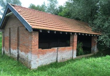
Nailloux


Stappen
Medium
Nailloux,
Occitanië,
Haute-Garonne,
France

7,1 km | 8,8 km-effort
1h 47min
Ja
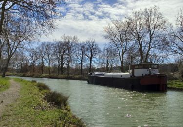
Canal du Midi - Ecluse de Laval - En Cassan


Stappen
Gemakkelijk
Gardouch,
Occitanië,
Haute-Garonne,
France

8,4 km | 8,9 km-effort
1h 40min
Neen
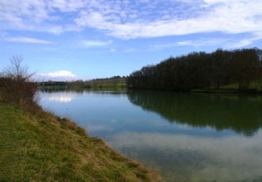
Nailloux - Lac de la Tésauque


Stappen
Gemakkelijk
Nailloux,
Occitanië,
Haute-Garonne,
France

7,8 km | 9,9 km-effort
2h 10min
Ja
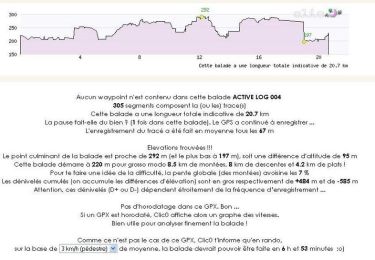
Boucle de Nailloux


Stappen
Medium
Nailloux,
Occitanië,
Haute-Garonne,
France

21 km | 26 km-effort
6h 30min
Ja
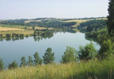
Lac de laTésauque - Nailloux


Mountainbike
Medium
Nailloux,
Occitanië,
Haute-Garonne,
France

16 km | 21 km-effort
1h 15min
Ja


 SityTrail


