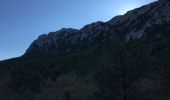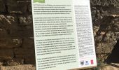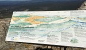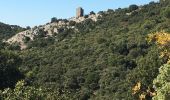

tour du Pic St Loup

ajd26
Gebruiker

Lengte
14,8 km

Max. hoogte
649 m

Positief hoogteverschil
578 m

Km-Effort
23 km

Min. hoogte
207 m

Negatief hoogteverschil
578 m
Boucle
Ja
Datum van aanmaak :
2021-10-16 08:00:20.0
Laatste wijziging :
2021-10-22 07:28:42.327
4h30
Moeilijkheid : Medium

Gratisgps-wandelapplicatie
Over ons
Tocht Stappen van 14,8 km beschikbaar op Occitanië, Hérault, Mas-de-Londres. Deze tocht wordt voorgesteld door ajd26.
Beschrijving
depart dans la garrigue, accès UNIQUEMENT par la D986 (route en sens unique)
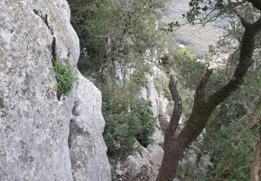
on contourne le Pic coté nord au pied de la falaise (très ombragé) et ascension par la voie classique
Plaatsbepaling
Land:
France
Regio :
Occitanië
Departement/Provincie :
Hérault
Gemeente :
Mas-de-Londres
Locatie:
Unknown
Vertrek:(Dec)
Vertrek:(UTM)
560793 ; 4847248 (31T) N.
Opmerkingen
Wandeltochten in de omgeving
Fontaine Terou


Stappen
Medium
(1)
Viols-en-Laval,
Occitanië,
Hérault,
France

12,5 km | 14,9 km-effort
4h 5min
Ja
l'ouradou


Stappen
Medium
(1)
Saint-Martin-de-Londres,
Occitanië,
Hérault,
France

14,4 km | 19,2 km-effort
3h 39min
Ja
le tour du pic st loup


Stappen
Medium
(1)
Cazevieille,
Occitanië,
Hérault,
France

11,4 km | 19,8 km-effort
4h 34min
Ja
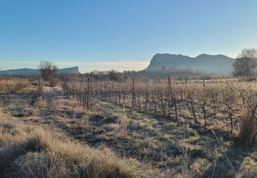
2 Mas de Londres par la Jasse du 18-01-2025


Stappen
Medium
Mas-de-Londres,
Occitanië,
Hérault,
France

6,2 km | 7,6 km-effort
1h 28min
Ja
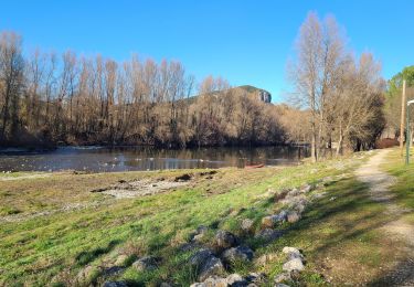
A Mas de Londres à Saint Bauzille de Putois par le GR 60 du 17-01-2025


Stappen
Zeer moeilijk
Mas-de-Londres,
Occitanië,
Hérault,
France

23 km | 28 km-effort
6h 24min
Neen
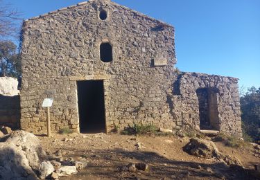
Pic St Loup + Crête 16.12.23


Stappen
Moeilijk
Cazevieille,
Occitanië,
Hérault,
France

6,7 km | 11,6 km-effort
4h 15min
Ja
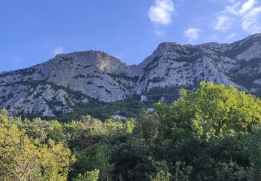
face nord pic Saint Loup


Stappen
Moeilijk
Mas-de-Londres,
Occitanië,
Hérault,
France

3,8 km | 9,4 km-effort
2h 0min
Ja
34 pic st loup par vire nord


Stappen
Moeilijk
Mas-de-Londres,
Occitanië,
Hérault,
France

6 km | 11,6 km-effort
3h 13min
Neen

LL34-Pic St Loup par arête ouest


Stappen
Medium
(4)
Mas-de-Londres,
Occitanië,
Hérault,
France

10,5 km | 17,9 km-effort
5h 10min
Ja


 SityTrail


