Tocht Stappen Thuès-Entre-Valls - La Carança (Thues-entre-Valls) - Photo

La Carança (Thues-entre-Valls)

 PiloudeBamako
PiloudeBamako

Gebruiker

© OpenStreetMap contributors
Lengte
Lengte
12,5 km
Max. hoogte
Max. hoogte
1234 m
Positief hoogteverschil
783 m
Km-Effort
Km-Effort  
23 km
Min. hoogte
Min. hoogte
836 m
Negatief hoogteverschil
790 m
Boucle
Boucle
Ja
Datum van aanmaak :
2021-10-14 08:05:29.0
Laatste wijziging :
2021-10-16 10:43:43.984

(0 Bericht)

Stappen
Stappen
5h21
Moeilijkheid : Zeer moeilijk

Scan deze QR-code om de tocht te openen in de SityTrail-applicatie

Gratisgps-wandelapplicatie

Logo SityTrail SityTrail
IGN / Geografische instituten

SityTrail uit de App Store downloaden SityTrail uit Google Play downloaden

Logo SityTrail SityTrail World

De wereld gaat voor u open

SityTrail uit de App Store downloaden SityTrail uit Google Play downloaden SityTrail op Huawei AppGallery downloaden

Over ons

Tocht Stappen van 12,5 km beschikbaar op Occitanië, Pyrénées-Orientales, Thuès-Entre-Valls. Deze tocht wordt voorgesteld door PiloudeBamako.

Beschrijving

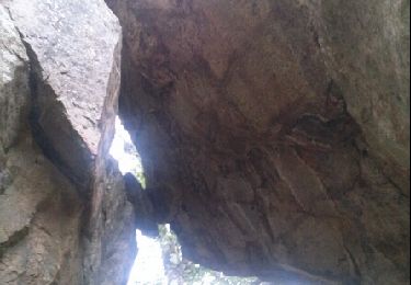
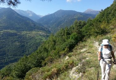
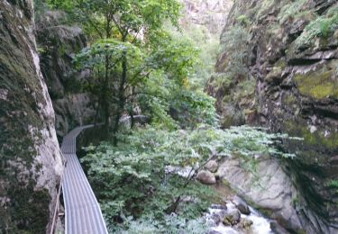
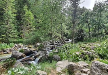
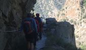
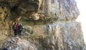
Circuit dans les gorges de la Carança.
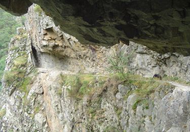
Aller par la rive droite de la rivière jusqu'au Pont de Pierre (environ 5 kms de marche - altitude de 1 150m). Retour sur ses pas jusqu'à la bifurcation vers la rive gauche et la prise d'eau (au grand panneau de bois sans indication proche de la rivière, rester au bord de l'eau pour trouver la passerelle traversant le cours d'eau et accéder à la bouche de retour par la corniche creusée dans la roche).
Pas de difficultés insurmontables (échelles, passerelles, ponts de singe, corniches) car tout le parcours est sécurisé par des mains courantes, mais déconseillé aux personnes sensibles au vertige.

Hoogteprofiel

Foto's

33 fotos in totaal. Klik op een foto om ze allemaal in de galerij weer te geven.

Plaatsbepaling

Land:
France
Regio :
Occitanië
Departement/Provincie :
Pyrénées-Orientales
Gemeente :
Thuès-Entre-Valls
Locatie:
Unknown
Vertrek:(Dec)
Vertrek:(UTM)
436069 ; 4708114 (31T) N.

Wandeltochten in de omgeving

Tocht Stappen Thuès-Entre-Valls - boucle des gorges de Caranca - Photo
Stappen
PVERTICAL

Stappen

Medium
(2)
Thuès-Entre-Valls, Occitanië, Pyrénées-Orientales, France
7,2 km | 15,3 km-effort
3h 1min
Ja
Tocht Stappen Thuès-Entre-Valls - Gorges de la garanca - Photo
Stappen
attelageplaisir

Stappen

Heel gemakkelijk
(1)
Thuès-Entre-Valls, Occitanië, Pyrénées-Orientales, France
6,7 km | 13,1 km-effort
3h 39min
Neen
Tocht Stappen Fontpédrouse - Tour du Cucurucull - Photo
Stappen
Pek56

Stappen

Medium
(1)
Fontpédrouse, Occitanië, Pyrénées-Orientales, France
9,3 km | 18,5 km-effort
3h 24min
Ja
Tocht Stappen Fontpédrouse - fontpérouse sentier des canaux et sources chaudes naturelles_T - Photo
Stappen
force

Stappen

Medium
(1)
Fontpédrouse, Occitanië, Pyrénées-Orientales, France
13,7 km | 25 km-effort
5h 9min
Ja
Tocht Stappen Thuès-Entre-Valls - Thuès-Entre-Valls - Gorges de la Cartança - 13.1km D 4h30mn (30mn) - 2018 09 11 - Photo
Stappen
GUIDE
Orcal37

Stappen

Moeilijk
Thuès-Entre-Valls, Occitanië, Pyrénées-Orientales, France
12,3 km | 23 km-effort
4h 30min
Ja
Tocht Stappen Thuès-Entre-Valls - Gorges de Carança - Photo
Stappen
ochamley

Stappen

Medium
(2)
Thuès-Entre-Valls, Occitanië, Pyrénées-Orientales, France
13,6 km | 30 km-effort
3h 43min
Ja
Tocht Stappen Canaveilles - 20221120 Canaveilles - Llar  - Photo
Stappen
ThonyM

Stappen

Medium
Canaveilles, Occitanië, Pyrénées-Orientales, France
11 km | 20 km-effort
3h 15min
Ja
Tocht Stappen Thuès-Entre-Valls - Gorges de  la Carança vers refuge - Photo
Stappen
chrisgps

Stappen

Medium
Thuès-Entre-Valls, Occitanië, Pyrénées-Orientales, France
9,8 km | 22 km-effort
5h 33min
Neen
Tocht Te voet Thuès-Entre-Valls - Les Balcons de la Têt - Photo
Te voet
GUIDE+

Te voet

Medium
Thuès-Entre-Valls, Occitanië, Pyrénées-Orientales, France
10,9 km | 21 km-effort
4h 51min
Neen


Sluiten
Mijn abonnementen