

Le cougoir : accès par la combe de Sauve ( Venterol)

phbindelle
Gebruiker

Lengte
9,1 km

Max. hoogte
1205 m

Positief hoogteverschil
597 m

Km-Effort
17,1 km

Min. hoogte
622 m

Negatief hoogteverschil
597 m
Boucle
Ja
Datum van aanmaak :
2021-10-14 15:09:38.68
Laatste wijziging :
2021-10-14 15:14:01.663
3h52
Moeilijkheid : Gemakkelijk

Gratisgps-wandelapplicatie
Over ons
Tocht Te voet van 9,1 km beschikbaar op Auvergne-Rhône-Alpes, Drôme, Venterol. Deze tocht wordt voorgesteld door phbindelle.
Beschrijving
départ au bout de la route de la Sauve, en contre bas d'une grosse batisse en rénovation ( sept 21). Il vaut mieux faire la boucle dans le sens antihoraire quand on est au col de Venterol. Au col de Pousterle, quitter la" route " principale pour prendre le sentier.
Plaatsbepaling
Land:
France
Regio :
Auvergne-Rhône-Alpes
Departement/Provincie :
Drôme
Gemeente :
Venterol
Locatie:
Unknown
Vertrek:(Dec)
Vertrek:(UTM)
668674 ; 4921316 (31T) N.
Opmerkingen
Wandeltochten in de omgeving
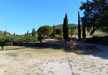
Rousset- La Lance


Stappen
Moeilijk
(1)
Rousset-les-Vignes,
Auvergne-Rhône-Alpes,
Drôme,
France

14 km | 26 km-effort
2h 55min
Ja
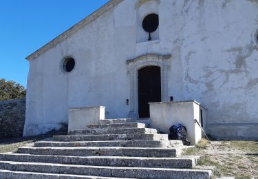
26 Rousset les vignes


Stappen
Medium
Rousset-les-Vignes,
Auvergne-Rhône-Alpes,
Drôme,
France

14,8 km | 26 km-effort
7h 18min
Ja
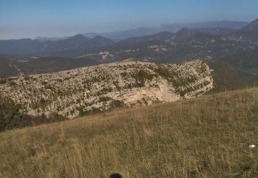
26 cougoir zel


Stappen
Medium
Teyssières,
Auvergne-Rhône-Alpes,
Drôme,
France

13 km | 23 km-effort
6h 24min
Neen
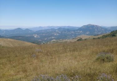
le cougoir


Stappen
Medium
Venterol,
Auvergne-Rhône-Alpes,
Drôme,
France

11,4 km | 19,7 km-effort
3h 46min
Neen
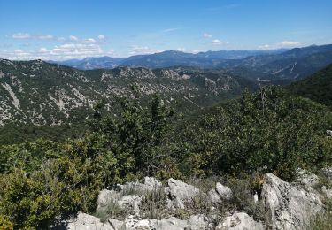
aubres


Stappen
Medium
Aubres,
Auvergne-Rhône-Alpes,
Drôme,
France

16,3 km | 27 km-effort
6h 39min
Ja
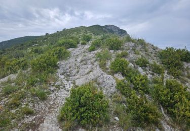
Randonnée au départ de Teyssières (Le Cougoir, La Lance)


Stappen
Zeer moeilijk
Teyssières,
Auvergne-Rhône-Alpes,
Drôme,
France

22 km | 40 km-effort
9h 2min
Ja
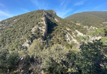
Rousset les vignes sous La Chapelle


Stappen
Gemakkelijk
Rousset-les-Vignes,
Auvergne-Rhône-Alpes,
Drôme,
France

3,7 km | 6,4 km-effort
1h 50min
Ja
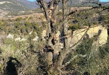
Saint Pantaleon crevasses.


Stappen
Medium
(1)
Saint-Pantaléon-les-Vignes,
Auvergne-Rhône-Alpes,
Drôme,
France

5,1 km | 6,6 km-effort
2h 0min
Ja
2021_11_14


Stappen
Gemakkelijk
Valouse,
Auvergne-Rhône-Alpes,
Drôme,
France

10,5 km | 22 km-effort
3h 33min
Ja


 SityTrail


