


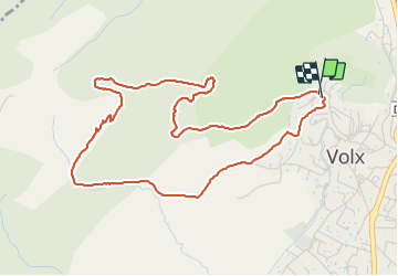

15,2 km | 22 km-effort

Gebruiker


Gratisgps-wandelapplicatie
 SityTrail
IGN / Geografische instituten
SityTrail World
De wereld gaat voor u open
Tocht Stappen van 5,5 km beschikbaar op Provence-Alpes-Côte d'Azur, Alpes-de-Haute-Provence, Volx. Deze tocht wordt voorgesteld door JPJ38.
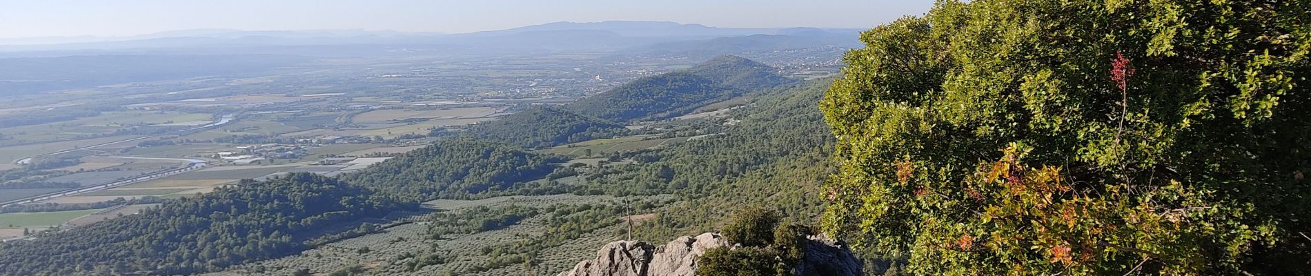
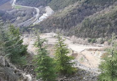
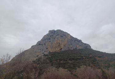
Une bonne montée par un sentier caillouteux
un palier agréable avec clairières et petits bois.
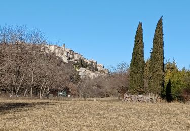
Retour par un sentier en sous bois

Stappen
Stappen
Stappen

Te voet

Mountainbike

Stappen
Stappen

Stappen
Stappen