


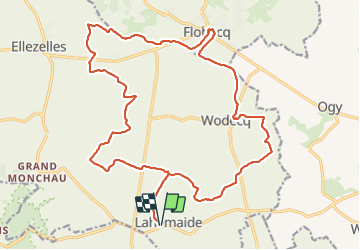

17,9 km | 22 km-effort


Gebruiker


Gratisgps-wandelapplicatie
 SityTrail
IGN / Geografische instituten
SityTrail World
De wereld gaat voor u open
Tocht Stappen van 23 km beschikbaar op Wallonië, Henegouwen, Elzele. Deze tocht wordt voorgesteld door Greg813.
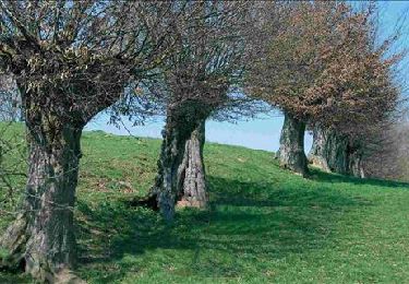
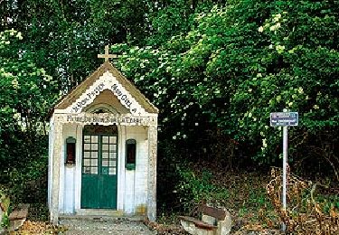
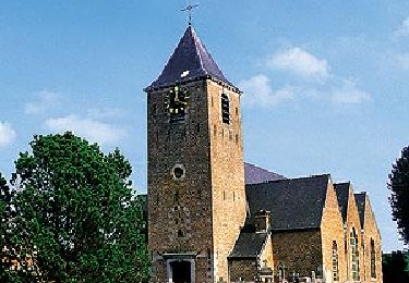
Randonnée avec Mettons le Monde en Marche au coeur du Parc naturel du Pays des Collines.
Pour d'autres photos, voir le site de l'association :
https://mmm-rando.org/randonnee-au-pays-des-collines-2021/
Stappen
Stappen
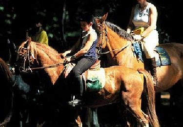
Paard

Te voet
Te voet
Te voet
Te voet

Te voet

Te voet