


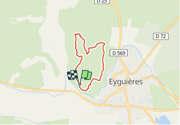

8,8 km | 11,4 km-effort


Gebruiker


Gratisgps-wandelapplicatie
 SityTrail
IGN / Geografische instituten
SityTrail World
De wereld gaat voor u open
Tocht Stappen van 5,5 km beschikbaar op Provence-Alpes-Côte d'Azur, Bouches-du-Rhône, Eyguières. Deze tocht wordt voorgesteld door tophe13430.
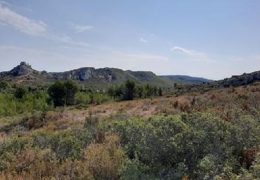
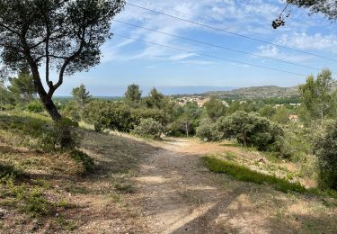
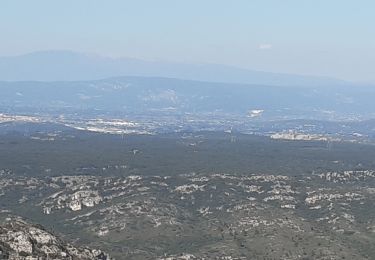
Joli panorama sur le vallon des glauges à l’ouest - nord est le mont ventoux et le luberon.
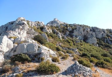
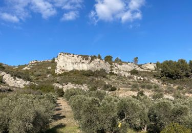
Le départ à partir du secteur d’escalade d’Eyguieres, vous mettra dans l’ambiance collines provençales.
Stappen

Stappen
Stappen
Stappen

Stappen
Stappen

Stappen
Stappen
Stappen