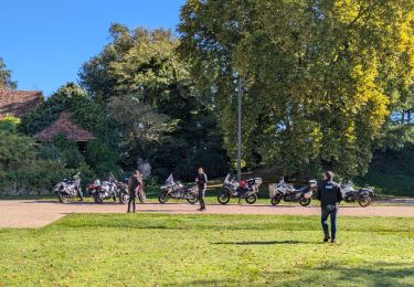
5,4 km | 6,8 km-effort
Coly boucle du Bouch
YV24
Gebruiker
Lengte
6,1 km
Max. hoogte
199 m
Positief hoogteverschil
127 m
Km-Effort
7,8 km
Min. hoogte
106 m
Negatief hoogteverschil
127 m
Boucle
Ja
Datum van aanmaak :
2021-10-08 19:45:05.27
Laatste wijziging :
2021-10-08 19:46:40.032
1h46
Moeilijkheid : Medium
Gratisgps-wandelapplicatie
Over ons
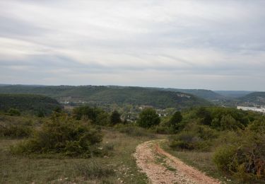
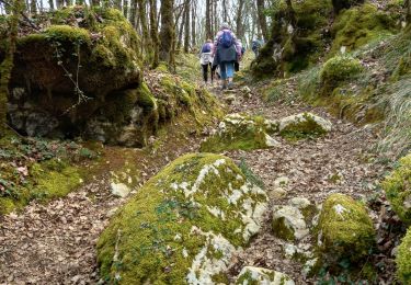
Tocht Stappen van 6,1 km beschikbaar op Nieuw-Aquitanië, Dordogne, Coly-Saint-Amand. Deze tocht wordt voorgesteld door YV24.
Beschrijving
Selon n°17 du la carte PDIPR de Terrasson
Départ parking mairie de Coly
Plaatsbepaling
Land:
France
Regio :
Nieuw-Aquitanië
Departement/Provincie :
Dordogne
Gemeente :
Coly-Saint-Amand
Locatie:
Unknown
Vertrek:(Dec)
Vertrek:(UTM)
363666 ; 4993899 (31T) N.
Opmerkingen
Wandeltochten in de omgeving
Boucle de la Commanderie
Te voet
Gemakkelijk
Condat-sur-Vézère,
Nieuw-Aquitanië,
Dordogne,
France
9,5 km | 12,6 km-effort
2h 20min
Ja
Terrasson-Boucle de la Vézère
Stappen
Gemakkelijk
(1)
Terrasson-Lavilledieu,
Nieuw-Aquitanië,
Dordogne,
France
11,4 km | 12,9 km-effort
2h 48min
Ja
vezere_19
Stappen
Medium
(3)
Coly-Saint-Amand,
Nieuw-Aquitanië,
Dordogne,
France
8,2 km | 11,1 km-effort
2h 22min
Ja
coly300322
Stappen
Moeilijk
Coly-Saint-Amand,
Nieuw-Aquitanië,
Dordogne,
France
11,4 km | 14,5 km-effort
3h 22min
Ja
Boucle de Maneyrol
Stappen
Zeer moeilijk
Terrasson-Lavilledieu,
Nieuw-Aquitanië,
Dordogne,
France
16,6 km | 24 km-effort
5h 23min
Ja
Boucle du Bouch
Stappen
Moeilijk
(1)
Terrasson-Lavilledieu,
Nieuw-Aquitanië,
Dordogne,
France
11,5 km | 16,4 km-effort
3h 43min
Ja
Saint Amand de Coly
Stappen
Gemakkelijk
Coly-Saint-Amand,
Nieuw-Aquitanië,
Dordogne,
France
1,6 km | 2,4 km-effort
1h 17min
Ja
Parcours vezere-dordogne
Motorfiets
Medium
Terrasson-Lavilledieu,
Nieuw-Aquitanië,
Dordogne,
France
279 km | 331 km-effort
Onbekend
Ja