


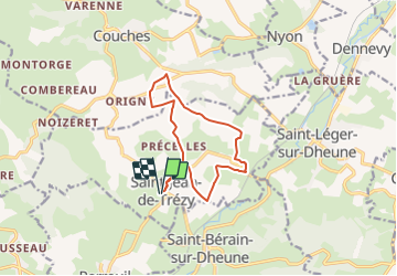

15,9 km | 21 km-effort


Gebruiker


Gratisgps-wandelapplicatie
 SityTrail
IGN / Geografische instituten
SityTrail World
De wereld gaat voor u open
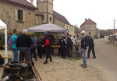
Tocht Te voet van 11,3 km beschikbaar op Bourgondië-Franche-Comté, Saône-et-Loire, Saint-Jean-de-Trézy. Deze tocht wordt voorgesteld door Malice0093.
Randonnée facile
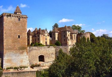
Beaux points de vue ,passage à proximité du chateau de Couches (dit de Marguerite de Bourgogne)

Te voet

Stappen
Stappen
Stappen
Mountainbike
Stappen
Mountainbike
Mountainbike
Stappen