


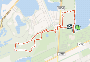

7,3 km | 7,8 km-effort

Gebruiker


Gratisgps-wandelapplicatie
 SityTrail
IGN / Geografische instituten
SityTrail World
De wereld gaat voor u open
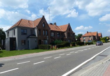
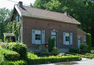
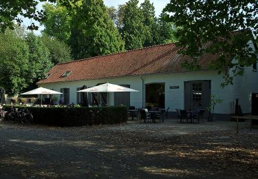
Tocht Stappen van 5,3 km beschikbaar op Vlaanderen, Antwerpen, Mol. Deze tocht wordt voorgesteld door Mudry.
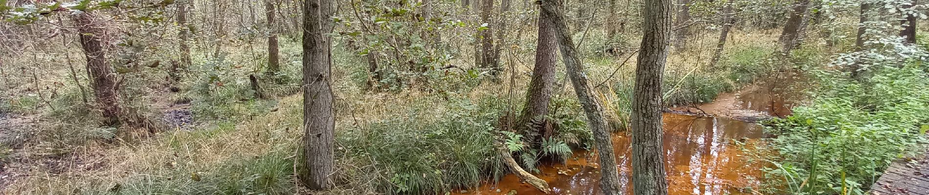
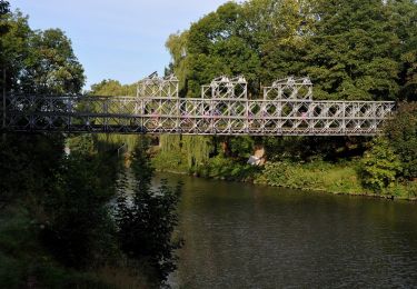
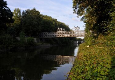
Promenade balisée au départ du Sun Park. Balisage top. Un dépliant papier est disponible à l'accueil du Sun Park. Pas de difficulté majeure mais le parcours le long du cours d'eau est parfois un peu glissant et...mouillé...


Te voet
Te voet
Te voet
Te voet
Te voet
Te voet
Te voet
Te voet