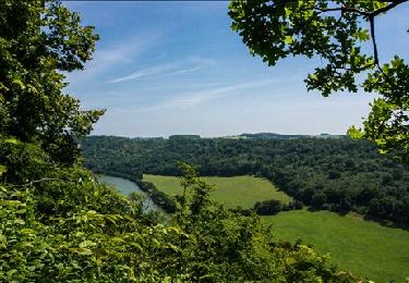
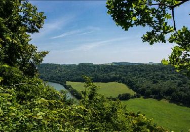
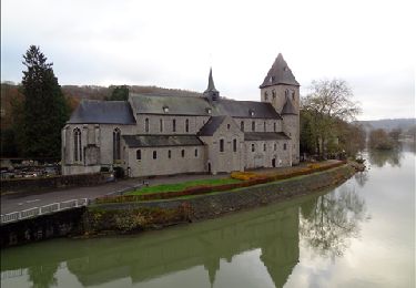
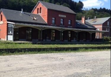
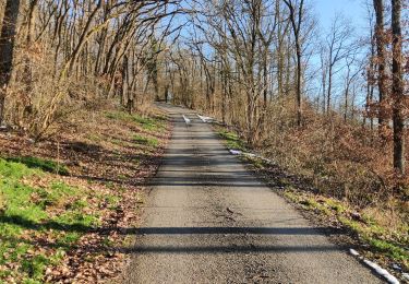
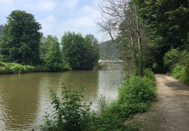
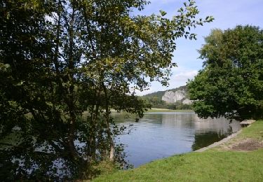
10,8 km | 13,8 km-effort
Hastière - Heer Agimont
ChristianNILE
Gebruiker
Lengte
72 km
Max. hoogte
300 m
Positief hoogteverschil
1596 m
Km-Effort
93 km
Min. hoogte
92 m
Negatief hoogteverschil
1585 m
Boucle
Ja
Datum van aanmaak :
2021-09-24 09:28:10.355
Laatste wijziging :
2021-09-24 14:51:20.657
5h22
Moeilijkheid : Moeilijk
Gratisgps-wandelapplicatie
Over ons
Tocht Mountainbike van 72 km beschikbaar op Wallonië, Namen, Hastière. Deze tocht wordt voorgesteld door ChristianNILE.
Beschrijving
A éviter quand il fait trop humide ou après de fortes pluies ou saison de chasse.
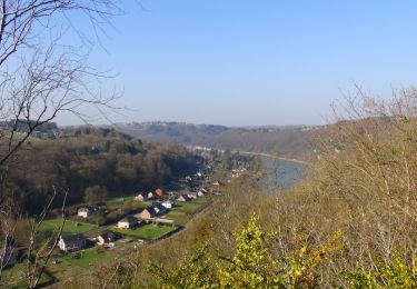
Plaatsbepaling
Land:
Belgium
Regio :
Wallonië
Departement/Provincie :
Namen
Gemeente :
Hastière
Locatie:
Unknown
Vertrek:(Dec)
Vertrek:(UTM)
629993 ; 5564059 (31U) N.
Opmerkingen
Wandeltochten in de omgeving
RB-Na-10 Raccourci 2 - Sur les crêtes mosanes
Stappen
Gemakkelijk
(2)
Hastière,
Wallonië,
Namen,
Belgium
18,1 km | 25 km-effort
4h 29min
Ja
RB-Na-10 Raccourci 1 - Sur les crêtes mosanes
Stappen
Medium
(3)
Hastière,
Wallonië,
Namen,
Belgium
15,3 km | 21 km-effort
5h 28min
Ja
RB-Na-10 - Sur les crêtes mosanes
Stappen
Medium
(5)
Hastière,
Wallonië,
Namen,
Belgium
22 km | 29 km-effort
6h 21min
Ja
Hastiere, Entre mont et vallée
Stappen
Medium
(2)
Hastière,
Wallonië,
Namen,
Belgium
11,2 km | 14,3 km-effort
2h 5min
Ja
Balade de Hastière à Hermeton
Stappen
Gemakkelijk
(1)
Hastière,
Wallonië,
Namen,
Belgium
13,1 km | 16,8 km-effort
3h 37min
Ja
Waulsort - Circuit Natura 2000, des sites qui valent le détour - Na08
Stappen
Heel gemakkelijk
(4)
Hastière,
Wallonië,
Namen,
Belgium
4,5 km | 6,9 km-effort
1h 40min
Ja
De Gochenee vers Soulme par la vallee de l'Ermeton
Stappen
Medium
(1)
Doische,
Wallonië,
Namen,
Belgium
18,5 km | 24 km-effort
4h 40min
Ja