


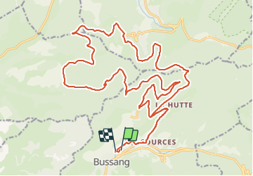

15 km | 24 km-effort

Gebruiker GUIDE


Gratisgps-wandelapplicatie
 SityTrail
IGN / Geografische instituten
SityTrail World
De wereld gaat voor u open
Tocht Mountainbike van 32 km beschikbaar op Grand Est, Vogezen, Bussang. Deze tocht wordt voorgesteld door pascalou73.
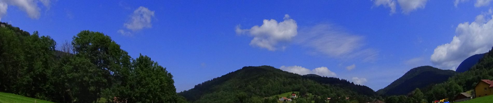
Voilà un VTT dans les hautes Vosges au départ du village de Bussang une très belle randonnée avec des décors varie et de beaux points de vue sur la vallée .une petite pause au chalet du rupt de la sauce au top..


Stappen

Sneeuwschoenen

Stappen

Stappen

Mountainbike

Mountainbike

Stappen

Te voet

Te voet