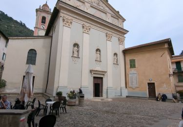
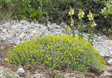
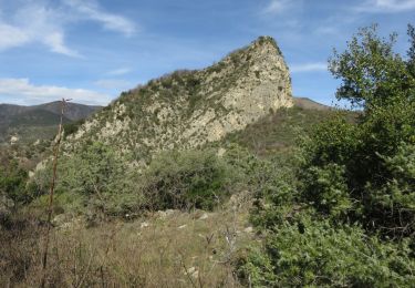
Tocht  Sospel - 2021-09-18_15h51m29_sospel-cime-de-liniere - Photo

2021-09-18_15h51m29_sospel-cime-de-liniere

 sylvainstaels
sylvainstaels

Gebruiker

© OpenStreetMap contributors
Lengte
Lengte
16,7 km
Max. hoogte
Max. hoogte
1370 m
Positief hoogteverschil
1116 m
Km-Effort
Km-Effort  
32 km
Min. hoogte
Min. hoogte
345 m
Negatief hoogteverschil
1116 m
Boucle
Boucle
Ja
Datum van aanmaak :
2021-09-18 13:51:29.468
Laatste wijziging :
2021-09-18 13:51:32.756

(0 Bericht)


Scan deze QR-code om de tocht te openen in de SityTrail-applicatie

Gratisgps-wandelapplicatie

Logo SityTrail SityTrail

IGN / Geografische instituten

SityTrail uit de App Store downloaden SityTrail uit Google Play downloaden

Logo SityTrail SityTrail World

De wereld gaat voor u open

SityTrail uit de App Store downloaden SityTrail uit Google Play downloaden SityTrail op Huawei AppGallery downloaden

Over ons

Tocht van 16,7 km beschikbaar op Provence-Alpes-Côte d'Azur, Alpes-Maritimes, Sospel. Deze tocht wordt voorgesteld door sylvainstaels.

Beschrijving

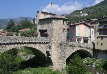
Traverser la Bevéra - prendre le Bd Charles Degaulle - A la B71 prendre le GR52 jusqu'à la baisse de Linière alt 1345m - quitter le GR52 pour la cime de Linière alt 1368m distance7,2km D 1016m.
Retour par la pointe calvièra alt 1108m - la croix de Réoune 1036m - A la B78 suivre le GR52a - Arrivée Sospel 17km pour D 1100m

Hoogteprofiel

Plaatsbepaling

Land:
France
Regio :
Provence-Alpes-Côte d'Azur
Departement/Provincie :
Alpes-Maritimes
Gemeente :
Sospel
Locatie:
Unknown
Vertrek:(Dec)
Vertrek:(UTM)
375199 ; 4859512 (32T) N.

Wandeltochten in de omgeving

Tocht Te voet Sospel - Circuit du Cuore - Photo
Te voet
GUIDE+

Te voet

Medium
Sospel, Provence-Alpes-Côte d'Azur, Alpes-Maritimes, France
13,7 km | 26 km-effort
5h 54min
Ja
Tocht Te voet Sospel - Tour du mont Grazian - Photo
Te voet
GUIDE+

Te voet

Gemakkelijk
Sospel, Provence-Alpes-Côte d'Azur, Alpes-Maritimes, France
12,1 km | 19,3 km-effort
4h 23min
Ja
Tocht Te voet Sospel - Boucle du mont Agaisen - Photo
Te voet
GUIDE+

Te voet

Gemakkelijk
Sospel, Provence-Alpes-Côte d'Azur, Alpes-Maritimes, France
8,7 km | 14,1 km-effort
3h 12min
Ja
Tocht Stappen Sospel - Sospel - Le Mont Agaisen - Photo
Stappen
GUIDE
Orcal37

Stappen

Medium
Sospel, Provence-Alpes-Côte d'Azur, Alpes-Maritimes, France
9,8 km | 15,7 km-effort
3h 5min
Ja
Tocht Stappen Sospel - 06 - Moyen Pays - 46. Tour du Mont Grazian - Photo
Stappen
kamell21

Stappen

Medium
(1)
Sospel, Provence-Alpes-Côte d'Azur, Alpes-Maritimes, France
11,9 km | 19 km-effort
Onbekend
Ja
Tocht Stappen Sospel - Sospel à Airole - Photo
Stappen
patsure

Stappen

Medium
Sospel, Provence-Alpes-Côte d'Azur, Alpes-Maritimes, France
16,1 km | 23 km-effort
4h 58min
Neen
Tocht Stappen Castillon - Castillon : Mt Ours - Photo
Stappen
ETMU5496

Stappen

Medium
Castillon, Provence-Alpes-Côte d'Azur, Alpes-Maritimes, France
16,7 km | 29 km-effort
4h 22min
Ja
Tocht Stappen Castillon - Du col de Castillon pour la crête du Mt Razet - Photo
Stappen
GrouGary

Stappen

Medium
Castillon, Provence-Alpes-Côte d'Azur, Alpes-Maritimes, France
8,1 km | 15,7 km-effort
3h 13min
Ja
Tocht Stappen Sospel - Cime de Penas - Photo
Stappen
aris

Stappen

Medium
Sospel, Provence-Alpes-Côte d'Azur, Alpes-Maritimes, France
11 km | 21 km-effort
6h 38min
Ja


Sluiten
Mijn abonnementen