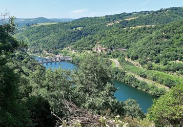
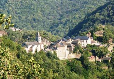
23 km | 33 km-effort
Le Palmoulet randonnée 09/2021
J-Mi
Gebruiker
Lengte
10,8 km
Max. hoogte
715 m
Positief hoogteverschil
480 m
Km-Effort
17,1 km
Min. hoogte
412 m
Negatief hoogteverschil
461 m
Boucle
Ja
Datum van aanmaak :
2021-09-13 08:03:30.672
Laatste wijziging :
2022-02-11 14:50:29.827
2h22
Moeilijkheid : Medium
Gratisgps-wandelapplicatie
Over ons
Tocht Stappen van 10,8 km beschikbaar op Occitanië, Aveyron, Viala-du-Tarn. Deze tocht wordt voorgesteld door J-Mi.
Beschrijving
11 km
Plaatsbepaling
Land:
France
Regio :
Occitanië
Departement/Provincie :
Aveyron
Gemeente :
Viala-du-Tarn
Locatie:
Unknown
Vertrek:(Dec)
Vertrek:(UTM)
483168 ; 4882382 (31T) N.
Opmerkingen
Wandeltochten in de omgeving
Le chemin des Raspes - Ayssènes
Stappen
Moeilijk
,
Occitanië,
Aveyron,
France
14,1 km | 23 km-effort
4h 30min
Ja
brousse le château
Stappen
Zeer moeilijk
Le Truel,
Occitanië,
Aveyron,
France
19,8 km | 28 km-effort
9h 4min
Neen
le truel in live raccourci
Stappen
Medium
Le Truel,
Occitanië,
Aveyron,
France
11,2 km | 18,9 km-effort
3h 17min
Ja
randonnée estivale st Victor et melvieu
Stappen
Moeilijk
,
Occitanië,
Aveyron,
France
11,8 km | 16 km-effort
2h 52min
Ja
Le DEZERAC retracé
Stappen
Zeer moeilijk
Ayssènes,
Occitanië,
Aveyron,
France
13,2 km | 22 km-effort
4h 58min
Ja
12_Le_Truel_longue
Stappen
Medium
Le Truel,
Occitanië,
Aveyron,
France
15,5 km | 25 km-effort
4h 41min
Ja
boucle pen st rome st aff
Elektrische fiets
Moeilijk
Le Truel,
Occitanië,
Aveyron,
France
72 km | 95 km-effort
6h 24min
Ja