


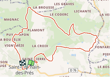

13,4 km | 16,5 km-effort


Gebruiker


Gratisgps-wandelapplicatie
 SityTrail
IGN / Geografische instituten
SityTrail World
De wereld gaat voor u open
Tocht Stappen van 13,6 km beschikbaar op Nieuw-Aquitanië, Dordogne, Saint-Germain-des-Prés. Deze tocht wordt voorgesteld door Patricew.
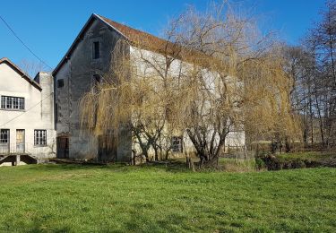
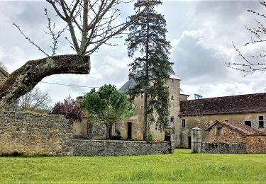
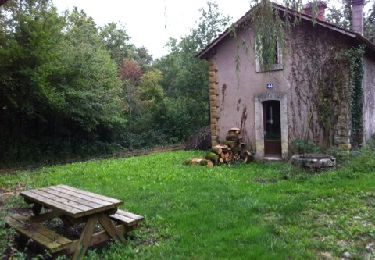
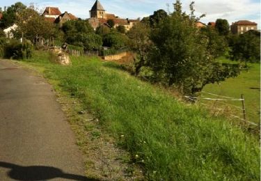
longue boucle avec pas mal de route, et peu de points remarquables si ce n'est un magnifique Pigeonnier en arrivant à Saint Germain
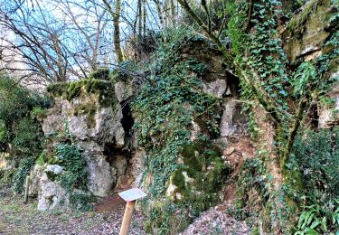
de jolis chemins tout de même

Stappen

Stappen
Stappen
Stappen
Stappen
Stappen
Stappen
Stappen
Stappen