
rando pour intermédiaire

Ophélie Lhoir
Gebruiker

Lengte
12,9 km

Max. hoogte
390 m

Positief hoogteverschil
243 m

Km-Effort
16,1 km

Min. hoogte
273 m

Negatief hoogteverschil
239 m
Boucle
Ja
Datum van aanmaak :
2021-09-11 13:52:09.522
Laatste wijziging :
2021-09-11 15:54:48.356
1h32
Moeilijkheid : Medium

Gratisgps-wandelapplicatie
Over ons
Tocht Paardrijden van 12,9 km beschikbaar op Wallonië, Namen, Viroinval. Deze tocht wordt voorgesteld door Ophélie Lhoir.
Beschrijving
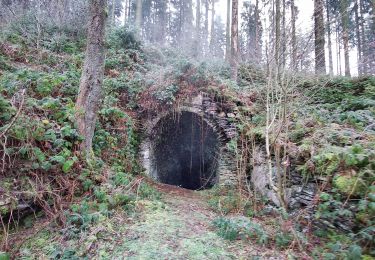
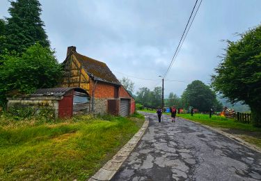
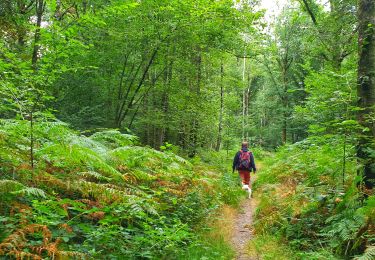
Beaux chemins de balade et quelques beaux galops. Beaucoup de forêts, un peu sur la domaniale et un peu sur le ravel, très peu de route (200 m à peine). Passage dans 2 ruisseau.
Plaatsbepaling
Land:
Belgium
Regio :
Wallonië
Departement/Provincie :
Namen
Gemeente :
Viroinval
Locatie:
Unknown
Vertrek:(Dec)
Vertrek:(UTM)
616339 ; 5542209 (31U) N.
Opmerkingen
Wandeltochten in de omgeving

Le Trou du Diable à Oignies en Thiérache


Stappen
Heel gemakkelijk
(4)
Viroinval,
Wallonië,
Namen,
Belgium

6,4 km | 9,1 km-effort
2h 32min
Ja

RF-Na-12 Oignies - Grande-boucle


Stappen
Medium
(1)
Viroinval,
Wallonië,
Namen,
Belgium

11 km | 14,2 km-effort
3h 2min
Ja

Balade à Le Mesnil - Viroinval


Stappen
Gemakkelijk
Viroinval,
Wallonië,
Namen,
Belgium

3,6 km | 4,8 km-effort
2h 16min
Ja

2024-03-19_14h55m08_OTH-A0-008T-2Z7M


Stappen
Medium
Viroinval,
Wallonië,
Namen,
Belgium

8,4 km | 11 km-effort
2h 29min
Ja

Balade à Regniessart - Viroinval


Stappen
Medium
Viroinval,
Wallonië,
Namen,
Belgium

8,4 km | 10,6 km-effort
2h 24min
Ja

Balade à Oignies-en-Thiérache - Le Ry d'Alise


Stappen
Medium
Viroinval,
Wallonië,
Namen,
Belgium

8,6 km | 11,8 km-effort
2h 40min
Ja

Les Crêtes - Robertsart


Te voet
Gemakkelijk
Viroinval,
Wallonië,
Namen,
Belgium

9,9 km | 13,6 km-effort
3h 5min
Ja

Les Bornes


Te voet
Gemakkelijk
Viroinval,
Wallonië,
Namen,
Belgium

8 km | 10,7 km-effort
2h 26min
Ja

Le Centre de l'Europe des 15


Te voet
Gemakkelijk
Viroinval,
Wallonië,
Namen,
Belgium

14,1 km | 19,4 km-effort
4h 25min
Neen


 SityTrail


