


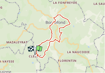


17,8 km | 23 km-effort

Gebruiker


Gratisgps-wandelapplicatie
 SityTrail
IGN / Geografische instituten
SityTrail World
De wereld gaat voor u open
Tocht Stappen van 14,8 km beschikbaar op Nieuw-Aquitanië, Corrèze, Grandsaigne. Deze tocht wordt voorgesteld door houbart.
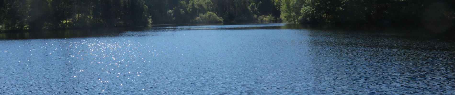
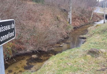
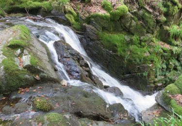
Au départ du village abandonné de Clédat, belle rando nature en traversée de forêts, étangs. Beau patrimoine ancien : fontaines, puits à balancier, dolmen... Table de pique-nique à l'étang de Chadebec (digue en gradins du XIIe siècle),


Stappen
Stappen

Stappen
Stappen

Te voet
Stappen
Stappen
Stappen
Stappen