


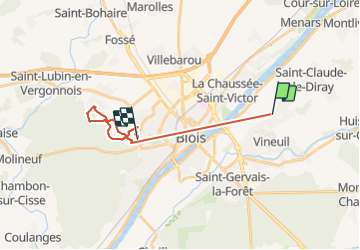

8,2 km | 8,9 km-effort


Gebruiker


Gratisgps-wandelapplicatie
 SityTrail
IGN / Geografische instituten
SityTrail World
De wereld gaat voor u open
Tocht Hybride fiets van 16,1 km beschikbaar op Centre-Val de Loire, Loir-et-Cher, Vineuil. Deze tocht wordt voorgesteld door Jacky Caillé.
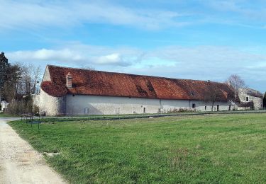
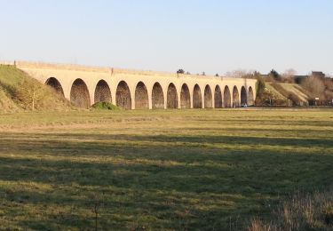
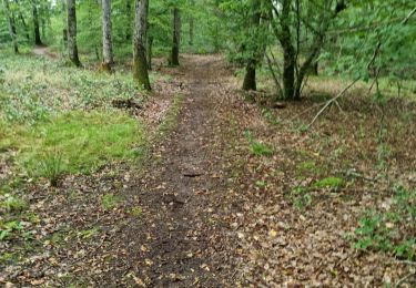
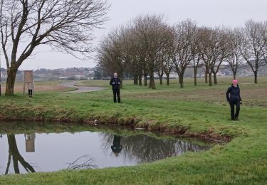
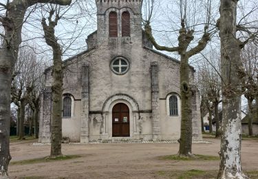
Beau barcours boisé
Te voet

Te voet
Te voet

Stappen
Stappen
Stappen
Stappen
Stappen

Stappen