


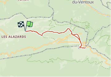

6,3 km | 8,2 km-effort


Gebruiker


Gratisgps-wandelapplicatie
 SityTrail
IGN / Geografische instituten
SityTrail World
De wereld gaat voor u open
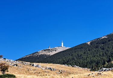
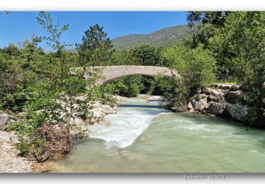
Tocht Stappen van 16 km beschikbaar op Provence-Alpes-Côte d'Azur, Vaucluse, Beaumont-du-Ventoux. Deze tocht wordt voorgesteld door MarcLEBARON.
Aller-Retour
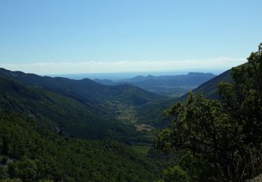
Pour ceux qui aime faire du dénivelé, se faire un "peu mal", avec les cailloux en prime.


Stappen

Stappen
Stappen

Stappen
Stappen
Stappen
Stappen
Stappen
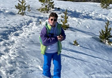
Sneeuwschoenen
Merci pour ce partage