8,3 km | 10,6 km-effort
plagnole fait 2021
pidjam
Gebruiker
Lengte
11 km
Max. hoogte
342 m
Positief hoogteverschil
279 m
Km-Effort
14,8 km
Min. hoogte
206 m
Negatief hoogteverschil
277 m
Boucle
Ja
Datum van aanmaak :
2021-09-02 06:58:56.663
Laatste wijziging :
2021-09-02 09:50:44.755
2h51
Moeilijkheid : Medium
Gratisgps-wandelapplicatie
Over ons
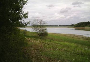
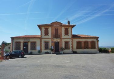
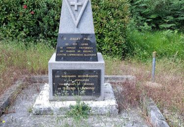
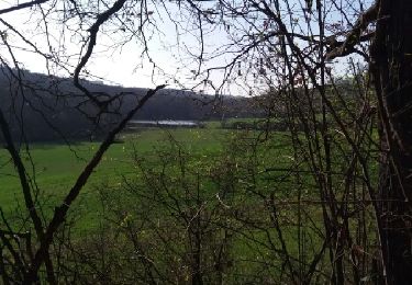
Tocht Stappen van 11 km beschikbaar op Occitanië, Haute-Garonne, Plagnole. Deze tocht wordt voorgesteld door pidjam.
Plaatsbepaling
Land:
France
Regio :
Occitanië
Departement/Provincie :
Haute-Garonne
Gemeente :
Plagnole
Locatie:
Unknown
Vertrek:(Dec)
Vertrek:(UTM)
342512 ; 4808553 (31T) N.
Opmerkingen
Wandeltochten in de omgeving
La Cugnalaise 2005
Mountainbike
Zeer moeilijk
Rieumes,
Occitanië,
Haute-Garonne,
France
51 km | 62 km-effort
4h 30min
Ja
Forgues
Stappen
Gemakkelijk
Forgues,
Occitanië,
Haute-Garonne,
France
9,3 km | 12 km-effort
2h 34min
Ja
De Plagnole à Forgues
Stappen
Medium
Plagnole,
Occitanië,
Haute-Garonne,
France
14,3 km | 18,6 km-effort
4h 0min
Ja
TNS 22km 2023-17891897-19995094
Stappen
Moeilijk
Lahage,
Occitanië,
Haute-Garonne,
France
10,3 km | 12,8 km-effort
2h 54min
Ja
boucle autour du ruisseau de la rédau
Stappen
Medium
Rieumes,
Occitanië,
Haute-Garonne,
France
7,4 km | 8,3 km-effort
1h 53min
Ja
Le tour du lac de Savères
Te voet
Gemakkelijk
Savères,
Occitanië,
Haute-Garonne,
France
3,1 km | 3,7 km-effort
50min
Neen
lahage
Stappen
Heel gemakkelijk
Rieumes,
Occitanië,
Haute-Garonne,
France
8,6 km | 10,9 km-effort
2h 25min
Ja