14,6 km | 17 km-effort
ADEPS à Saint-Vincent.
Bernard Gillet
Gebruiker GUIDE
Lengte
9,4 km
Max. hoogte
395 m
Positief hoogteverschil
121 m
Km-Effort
11 km
Min. hoogte
341 m
Negatief hoogteverschil
121 m
Boucle
Ja
Datum van aanmaak :
2021-08-29 07:23:53.904
Laatste wijziging :
2021-08-29 10:23:17.781
1h45
Moeilijkheid : Medium
Gratisgps-wandelapplicatie
Over ons
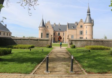
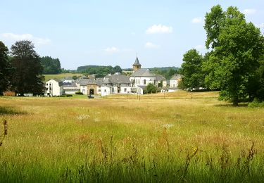
Tocht Stappen van 9,4 km beschikbaar op Wallonië, Luxemburg, Tintigny. Deze tocht wordt voorgesteld door Bernard Gillet.
Beschrijving
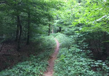
Tres beau parcours...dommage tous ces. VTT sur le même parcours.
Plaatsbepaling
Land:
Belgium
Regio :
Wallonië
Departement/Provincie :
Luxemburg
Gemeente :
Tintigny
Locatie:
Unknown
Vertrek:(Dec)
Vertrek:(UTM)
678518 ; 5505706 (31U) N.
Opmerkingen
Wandeltochten in de omgeving
À l’ombre de la forêt gaumaise
Stappen
Gemakkelijk
(4)
Tintigny,
Wallonië,
Luxemburg,
Belgium
2h 49min
Ja
La Rando du Bian: Autour de Lahage
Stappen
Gemakkelijk
(1)
Tintigny,
Wallonië,
Luxemburg,
Belgium
18,8 km | 22 km-effort
3h 58min
Ja
" Langs de kronkelende Semois"
Te voet
Gemakkelijk
Chiny,
Wallonië,
Luxemburg,
Belgium
11,8 km | 13,8 km-effort
3h 7min
Ja
Wikiloc - Prouvy
Stappen
Gemakkelijk
(1)
Chiny,
Wallonië,
Luxemburg,
Belgium
8,3 km | 9,7 km-effort
2h 12min
Ja
Rossignol bucolique
Te voet
Gemakkelijk
Tintigny,
Wallonië,
Luxemburg,
Belgium
4 km | 4,7 km-effort
1h 3min
Ja
Promenade Tintigny-Han
Te voet
Gemakkelijk
Tintigny,
Wallonië,
Luxemburg,
Belgium
4,4 km | 5 km-effort
1h 7min
Ja
Bellefontaine, Gros Cron, Baraque Payat
Stappen
Medium
Tintigny,
Wallonië,
Luxemburg,
Belgium
19,2 km | 23 km-effort
4h 56min
Ja
Bellefontaine _ Marche Privée
Stappen
Gemakkelijk
Tintigny,
Wallonië,
Luxemburg,
Belgium
20 km | 24 km-effort
5h 8min
Ja